Research leader

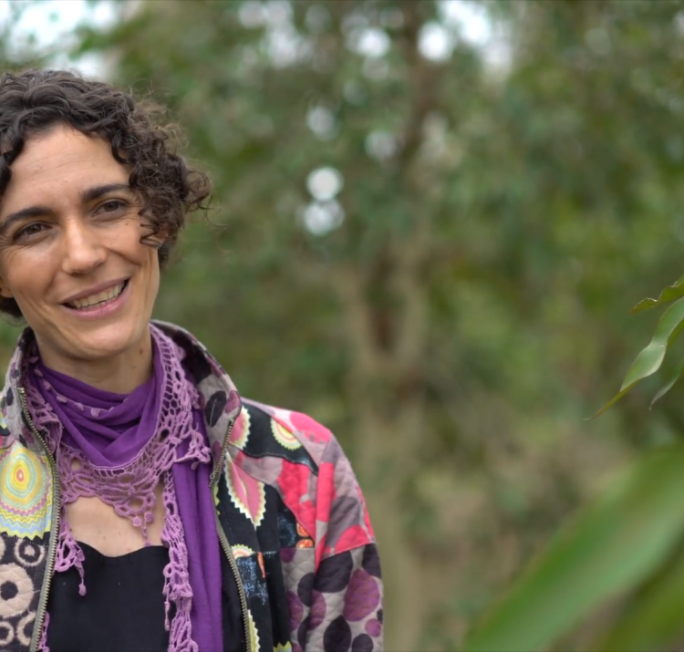
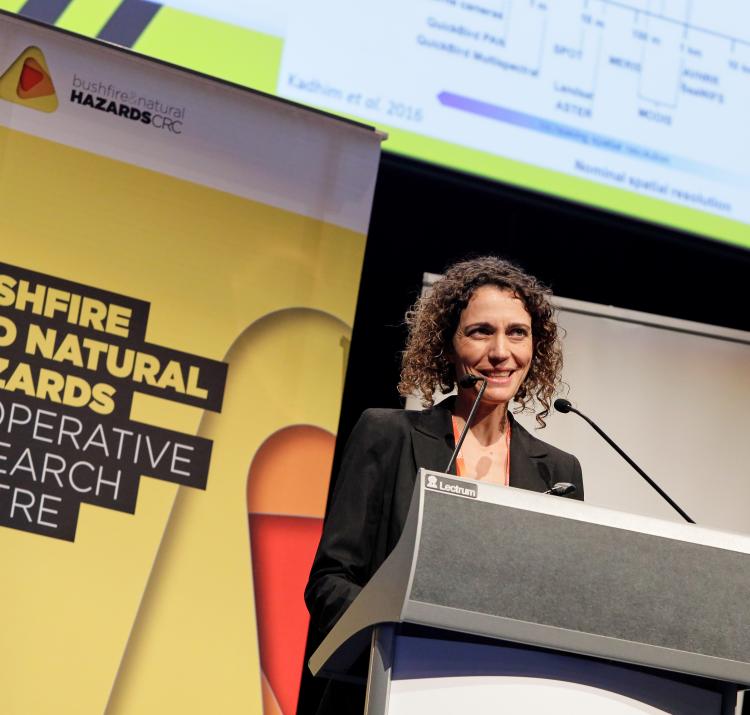
Marta Yebra
A/Prof Marta Yebra Research Leader

Research team

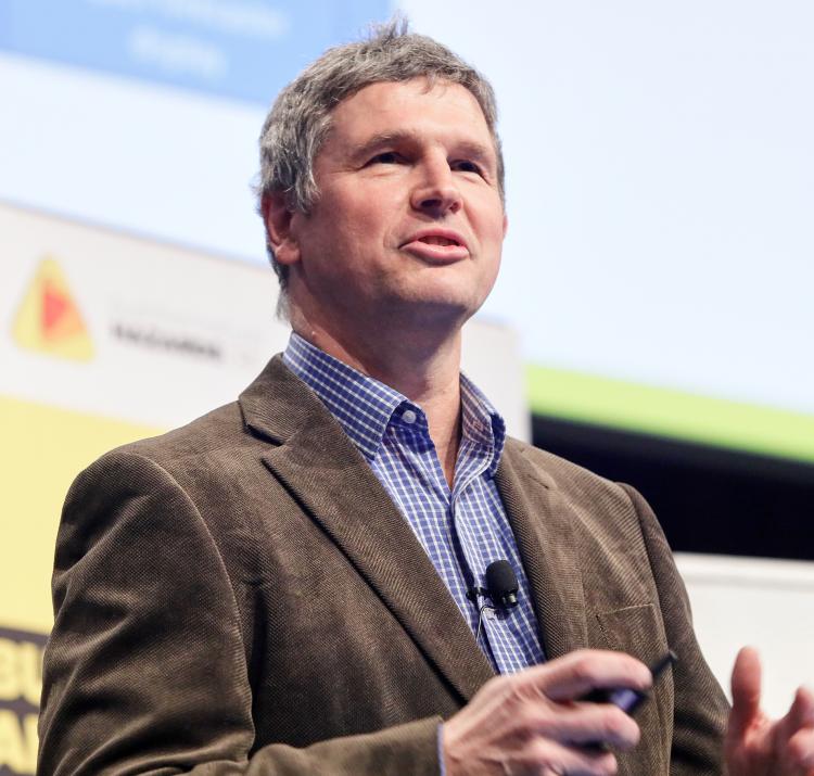
Geoff Cary
A/Prof Geoff Cary Research Team
Prof Albert van Dijk Research Team

End User representatives

Neil Cooper
Neil Cooper End-User
Belinda Kenny End-User
Matt Chesnais End-User
Bruno Greimel End-User
Andrew Grace End-User
David Hudson End-User
Maggie Tran End-User
Frederick Ford End-User
Robert Preston End-User
Simeon Telfer End-User
Dr Felipe Aires End-User
David Taylor End-User
Frank Crisci End-User
Ali Walsh End-User
Bruce Murrell End-User
Michael Konig End-User

Student researchers

Dr Andrea Massetti Student Reseacher
Li Zhao Student Reseacher

Understanding and predicting fire behaviour is a priority for fire agencies, land managers and sometimes individual businesses and residents. This is an enormous scientific challenge given bushfires are complex processes, with their behaviour and resultant severity driven by complicated interactions involving vegetation, topography and weather conditions.

A good understanding of fire risk across the landscape is critical in preparing and responding to bushfires and managing fire regimes, and this understanding will be enhanced by remote sensing data. However, the vast array of spatial data sources available is not being used very effectively in fire management.

This project uses cutting-edge technology and imagery to produce spatial information on fire hazard and impacts needed by planners, land managers and emergency services to manage fire at landscape scales. The team works closely with agencies to better understand their procedures and information needs, comparing these with the spatial data and mapping methods that are readily available, and developing the next generation of mapping technologies to help them prepare and respond to bushfires.

The project is focused on two related activities:

  1. Fire hazard mapping and monitoring – this focuses on spatial information of fuel load, structure that can assist fire preparedness through better fire danger ratings and fire behaviour predictions. This supports logistics and resources planning by emergency services, and can also improve fire management by helping guide activities such as scheduling and implementing prescribed burning.
  2. Fire impacts on landscape values – land managers also need spatial information on the expected fire impacts on landscape values, such as water resources, carbon storage, habitat and remaining fuel load.

The team has developed, tested and published software to classify a dense point cloud derived from a mobile laser scanner into different vegetation components: ground returns, near-surface vegetation, elevated understory vegetation (shrubs), tree trunks and tree canopy. The resulting classified point cloud is used to automatically derive information on the different fuel components that are important for fire hazard assessment such as total biomass, fractional cover and height. These results open a pathway of automatically deriving detailed vegetation structure information from ground-based LiDAR.

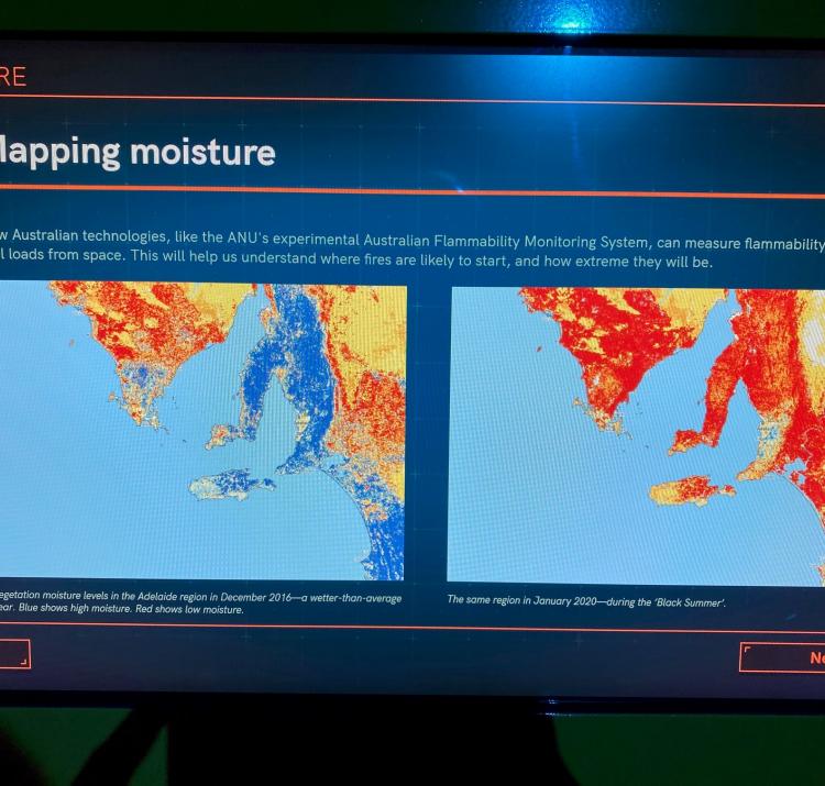
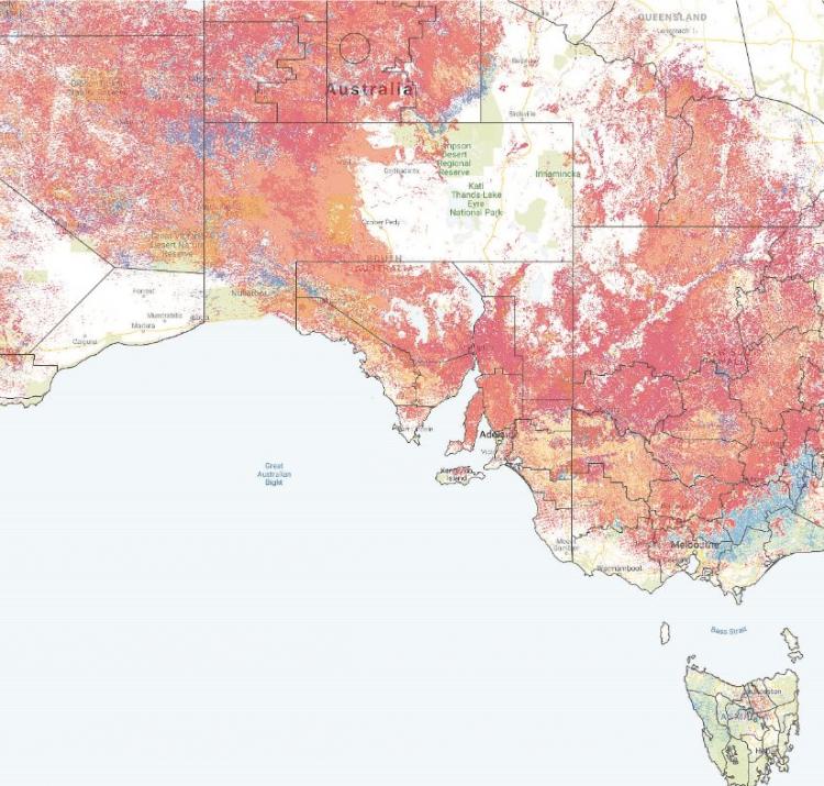
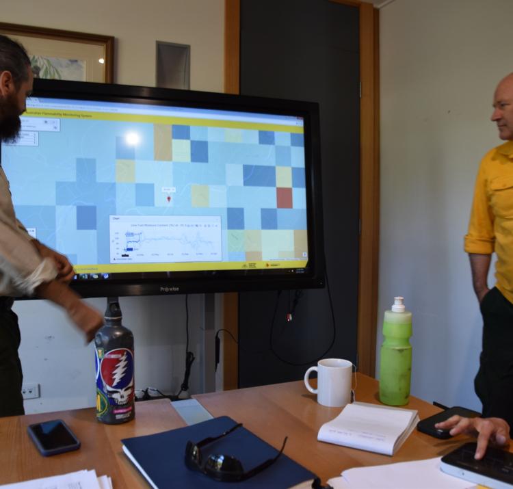
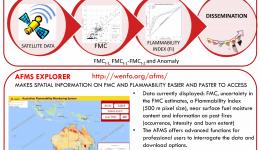
The team have also developed a pre-operational near-real time flammability data service (The Australian Flammability Monitoring System) to support fire risk management and response activities such as hazard reduction burning and pre-positioning firefighting resources and, in the long term, the new National Fire Danger Rating System. 

Read the final report here.

Year Type Citation
2021 Journal Article Kumar, V., Dharssi, I., Yebra, M. & Fox-Hughes, P. Continental-scale prediction of live fuel moisture content using soil moisture information. Agricultural and Forest Meteorology 307, (2021).
2021 Journal Article Zhao, L. et al. The influence of soil moisture on surface and sub-surface litter fuel moisture simulation at five Australian sites. Agricultural and Forest Meteorology 298-299, (2021).
2020 Journal Article Garcia, M. et al. A Live Fuel Moisture Content Product from Landsat TM Satellite Time Series for Implementation in Fire Behavior Models. Remote Sensing 12, (2020).
2020 Journal Article Chuvieco, E. et al. Satellite Remote Sensing Contributions to Wildland Fire Science and Management. Current Forestry Reports (2020). doi:https://doi.org/10.1007/s40725-020-00116-5
2020 Journal Article Garcia-Haro, F. Javier et al. A global canopy water content product from AVHRR/Metop. Remote Sensing 162, 77-93 (2020).
2020 Report Yebra, M., van Dijk, A. & Cary, G. J. Mapping bushfire hazard and impacts – final project report. (Bushfire and Natural Hazards CRC, 2020).
2019 Conference Paper Engel, C., Matthews, S., Jones, S. & Reinke, K. Detecting active fires from space using Himawari-8: a report from the regional New South Wales trial . AFAC19 powered by INTERSCHUTZ - Bushfire and Natural Hazards CRC Research Forum (Australian Institute for Disaster Resilience, 2019). at <https://knowledge.aidr.org.au/resources/australian-journal-of-emergency-management-monograph-series/>
2019 Conference Paper van Dijk, A., Yebra, M., Cary, G. J. & Shah, S. Towards comprehensive characterisation of flammability and fire danger . Bushfire and Natural Hazards CRC Research Day AFAC19 (2019). at <https://knowledge.aidr.org.au/resources/australian-journal-of-emergency-management-monograph-series/>
2019 Journal Article Massetti, A., Rüdiger, C., Yebra, M. & Hilton, J. The Vegetation Structure Perpendicular Index (VSPI): A forest condition index for wildlife predictions. Remote Sensing of Environment 224, (2019).
2019 Journal Article Yebra, M. et al. Globe-LFMC, a global plant water status database for vegetation ecophysiology and wildfire applications. Scientific Data 6, (2019).
2019 Journal Article Wang, L. et al. Assessment of the Dual Polarimetric Sentinel-1A Data for Forest Fuel Moisture Content Estimation. Remote Sensing 11, (2019).
2019 Journal Article Chuvieco, E. et al. Historical background and current developments for mapping burned area from satellite Earth observation. Remote Sensing of Environment 225, 45-64 (2019).
2019 Report Yebra, M., van Dijk, A., Cary, G. J., Zhao, L. & Zeng, H. Mapping bushfire hazards and impacts annual report 2018-2019. (Bushfire and Natural Hazards CRC, 2019).
2019 Report Yebra, M., van Dijk, A. & Cary, G. J. Mapping Bushfire Hazard and Impacts Annual Report 2017-2018. (Bushfire and Natural Hazards CRC, 2019).
2018 Conference Paper Leavesley, A. J., van Dijk, A. & Yebra, M. A lidar-derived fuel map for the ACT. AFAC18 (Bushfire and Natural Hazards CRC, 2018).
2018 Conference Paper Bates, J. Research proceedings from the 2018 Bushfire and Natural Hazards CRC and AFAC Conference. Bushfire and Natural Hazards CRC & AFAC annual conference 2017 (Bushfire and Natural Hazards CRC, 2018).
2018 Journal Article Yebra, M. et al. A fuel moisture content and flammability monitoring methodology for continental Australia based on optical remote sensing. Remote Sensing of Environment 212, 12 (2018).
2018 Journal Article Chen, X. et al. Estimating fire severity and carbon emissions over Australian tropical savannahs based on passive microwave satellite observations. International Journal of Remote Sensing (2018). doi:https://doi.org/10.1080/01431161.2018.1460507
2018 Journal Article Liu, X. et al. Near real-time extracting wildfire spread rate from Himawari-8 satellite data. Remote Sensing 10, 1654 (2018).
2018 Report Yebra, M., van Dijk, A. & Cary, G. J. Evaluation of the feasibility and benefits of operational use of alternative satellite data in the Australian Flammability Monitoring System to ensure long-term data continuity. (Bushfire and Natural Hazards CRC, 2018).
2018 Report Yebra, M., van Dijk, A. & Cary, G. J. Australian Flammability Monitoring System Version 1.0: User feedback and priorities for further development. (Bushfire and Natural Hazards CRC, 2018).
2018 Report Yebra, M., Cary, G. J. & van Dijk, A. Mapping bushfire hazards and impacts: annual project report 2017-18. (Bushfire and Natural Hazards CRC, 2018).
2017 Conference Paper Yebra, M. et al. The Australian Flammability Monitoring System. AFAC17 (Bushfire and Natural Hazards CRC, 2017).

2017 Conference Paper Rumsewicz, M. Research proceedings from the 2017 Bushfire and Natural Hazards CRC and AFAC Conference. Bushfire and Natural Hazards CRC & AFAC annual conference 2017 (Bushfire and Natural Hazards CRC, 2017).
2017 Journal Article Quan, X. et al. A radiative transfer model-based method for the estimation of grassland aboveground biomass. International Journal of Applied Earth Observation and Geoinformation 54, (2017).
2017 Journal Article Holgate, C. M., van Dijk, A., Cary, G. J. & Yebra, M. Using alternative soil moisture estimates in the McArthur Forest Fire Danger Index. International Journal of Wildland Fire (2017). doi:10.1071/WF16217
2017 Journal Article Quan, X. et al. Retrieval of forest fuel moisture content using a coupled radiative transfer model. Environmental Modelling & Software 95, 290-302 (2017).
2017 Report Yebra, M., van Dijk, A. & Cary, G. J. Mapping bushfire hazards and impacts: annual project report 2016-17. (Bushfire and Natural Hazards CRC, 2017).
2016 Journal Article Holgate, C. M. et al. Comparison of remotely sensed and modelled soil moisture data sets across Australia. Remote Sensing of Environment 186, (2016).
2016 Journal Article Marselis, S., Yebra, M., Jovanovic, T. & van Dijk, A. Deriving comprehensive forest structure information from mobile laser scanning observations using automated point cloud classification. Environmental Modelling & Software 82, 142-151 (2016).
2016 Journal Article Kiem, A. S. et al. Natural hazards in Australia: droughts. Climatic Change 139, 37-54 (2016).
2016 Journal Article Johnson, F. et al. Natural hazards in Australia: floods. Climatic Change 139, 21-35 (2016).
2016 Report Yebra, M., van Dijk, A. & Cary, G. J. Mapping bushfire hazard and impacts: Annual project report 2015-2016. (Bushfire and Natural Hazards CRC, 2016).
2015 Journal Article Yebra, M., van Dijk, A., Leuning, R. & Guerschman, J. Pablo. Global vegetation gross primary production estimation using satellite-derived light-use efficiency and canopy conductance. Remote Sensing of Environment 163, 206-216 (2015).
2015 Presentation Yebra, M., van Dijk, A. & Cary, G. J. Mapping bushfire hazard and impact. (2015).
2015 Report Yebra, M., Marselis, S., van Dijk, A., Cary, G. J. & Chen, Y. Using LiDAR for forest and fuel structure mapping: options, benefits, requirements and costs. (Bushfire and Natural Hazards CRC, 2015).
2015 Report van Dijk, A. Mapping Bushfire Hazard and Impacts Annual Report 2014. (2015).
2015 Report Yebra, M., van Dijk, A. & Cary, G. J. Mapping bushfire hazard and impacts: Annual project report 2014-2015. (Bushfire and Natural Hazards CRC, 2015).
2015 Report van Dijk, A., Yebra, M. & Cary, G. J. A model-data fusion framework for estimating fuel properties, vegetation growth, carbon storage and the water balance at hillslope scale. (2015).
Date Title Download Key Topics
21 Mar 2014 Monitoring and prediction PDF icon 7.35 MB (7.35 MB) flood, modelling, multi-hazard
04 Dec 2014 Mapping bushfire hazard and impact PDF icon 1.44 MB (1.44 MB) fire impacts, land management, planning
03 Apr 2016 Monitoring and prediction - cluster overview File 0 bytes (0 bytes) forecasting, multi-hazard, scenario analysis
24 Oct 2016 Mapping bushfire hazard and impact PDF icon 1.81 MB (1.81 MB) fire impacts, modelling, remote sensing
28 Nov 2016 Monitoring and predicting natural hazards PDF icon 853.18 KB (853.18 KB) forecasting, modelling, severe weather
29 Mar 2017 Can we predict bushfires from space?—Dr Marta Yebra File 0 bytes (0 bytes) fire, fire impacts, remote sensing
07 Jul 2017 Building bushfire predictive services capability PDF icon 9.97 MB (9.97 MB) fire, fire weather, modelling
07 Jul 2017 Building bushfire predictive services capability - Simon Heemstra File 0 bytes (0 bytes) fire, fire impacts, modelling
07 Sep 2017 The Australian Flammability Monitoring System PDF icon 1.49 MB (1.49 MB) fire, fire impacts, modelling
31 Oct 2017 Mapping bushfire hazards and impacts: developing spatial information on fire hazard for planners, land managers and emergency services PDF icon 1.32 MB (1.32 MB) fire, fire impacts, remote sensing
31 Oct 2017 Prescribed burning and predictive services PDF icon 4.46 MB (4.46 MB) fire, fire impacts, prescribed burning
03 Apr 2018 Australian Flammability Monitoring System: AFAC webinar File 0 bytes (0 bytes) fire, fire impacts
12 Sep 2018 Fire Australia Issue Three 2018 PDF icon 19.49 MB (19.49 MB) coastal, fire, Northern Australia
18 Sep 2018 A LiDAR-derived fuel map for the ACT PDF icon 1.88 MB (1.88 MB) fire, modelling
18 Sep 2018 Multi-temporal and spatial remote sensing imagery to monitor flammability in Australia PDF icon 3.56 MB (3.56 MB) fire, fire impacts, modelling
23 Nov 2018 Mapping bushfire hazard and impacts PDF icon 5.9 MB (5.9 MB) fire, fire impacts
29 Jul 2019 Remote sensing data with Dr Marta Yebra File 0 bytes (0 bytes) land management, remote sensing
27 Aug 2019 Towards comprehensive characterisation of flammability and fire danger In the Australian Flammability Monitoring System PDF icon 3.57 MB (3.57 MB) fire impacts, remote sensing
27 Aug 2019 QFES response to the 2018 fires PDF icon 2.24 MB (2.24 MB) fire, fire impacts
17 Oct 2019 Mapping bushfire hazard and impacts PDF icon 8.51 MB (8.51 MB) fire, fire impacts, fire severity
25 Nov 2020 Satellites to help show when the bush is ready to burn fire, remote sensing, vulnerability
26 Nov 2020 AFAC Webinar: Future of the Australian Flammability Monitoring System File 0 bytes (0 bytes) fire, fire impacts, remote sensing
22 Jan 2021 The Australian Flammability Monitoring System: providing a clear picture of landscape dryness PDF icon 768.18 KB (768.18 KB) fire, fire impacts, remote sensing
Mapping bushfire hazard and impact
25 Aug 2014
Little accurate and timely spatial information is currently available on bushfire hazard and impacts.
Mapping Bushfire Hazard and Impact
18 Aug 2015
A good understanding of fire risk across the landscape is critical in preparing and responding to bushfire...
Mapping forest fuel load and structure from airborne LiDAR data
18 Aug 2015
Australia is a dry continent, with high climate variability, and is continually vulnerable to natural hazards...
Marta Yebra Conference Poster 2016
12 Aug 2016
Live fuel moisture content (LFMC) is one of the primary variables affecting bushfire flammability.
The Australian Flammability Monitoring System
29 Jun 2017
The first national-scale, pre-operational, near-real time live fuel moisture content and flammability...
Australian flammability monitoring system website
19 Sep 2018
"The new technology described here has enormous potential to improve the efficiency of bushfire operations...
27 Aug 2019
The AFMS is available to anyone, including fire and land managers and other industries such as insurance and...
31 Aug 2020
Key findings: The influence of soil moisture on litter fuel moisture content (FMC) depends on the soil...
31 Aug 2020
Key findings: At different slope angles and driving wind velocities, different operational quasi-steady Rate...