Dr Karin Reinke

Dr Karin Reinke

Researcher
About
Dr Karin Reinke

Project leadership

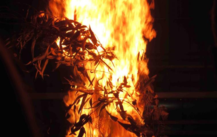
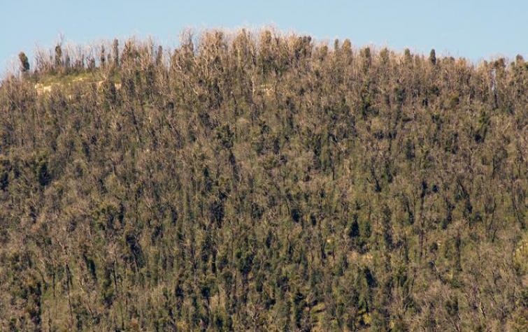
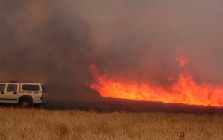
This project sought to optimise the use of earth observing systems for active fire monitoring by exploring issues of scale, accuracy and reliability, and to improve the mapping and estimation of post-fire severity and fuel change through empirical remote sensing observations. A particular focus was on the analysis of data obtained from Himawari-8, which is able to provide updated imagery on a 10 minute basis.+++++
This project is part of the Black Summer research program funded by the Commonwealth Government through the 10-year extension of funding into natural hazard research in Australia.
31 Aug 2020
Key findings: Real time wildfire detection trial using Himawari-8
The problem of context – understanding the estimation of fire background temperature in South-Eastern Australia
19 Sep 2018
Satellite remote sensing provides a timely and efficient method of detecting fire, but choosing the...
Fuels3D
19 Sep 2018
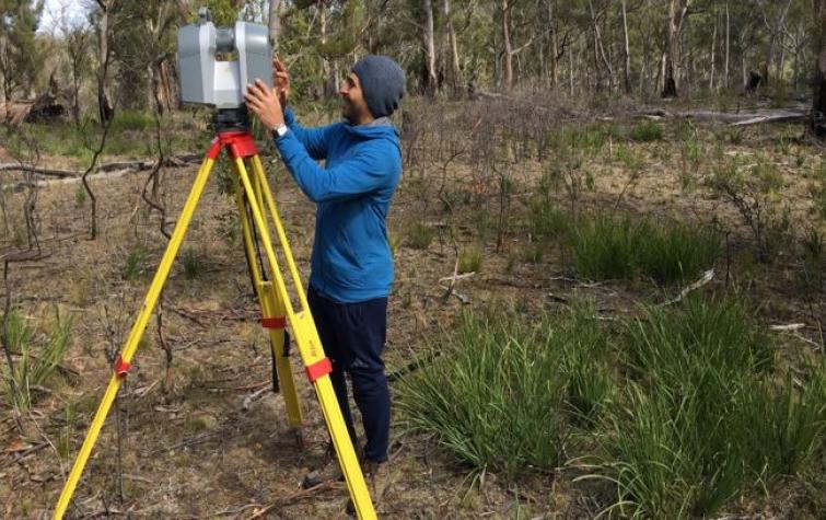
Fuels3D is a smart-phone app coupled with photogrammetry and computer vision techniques to produce...
The detection and surveillance of active fire using Himawari-8
29 Jun 2017
Himawari-8 presents exciting opportunities to map fires in near real time. Exploiting information...
The diurnal cycle and its role in fire detection using Himawari-8
29 Jun 2017
Accurately estimating background temperatures is vital for identifying fire using remote sensing....
Fuels3D: what's the point?
29 Jun 2017
The Fuels3D app provides a low cost data collection method for estimating fuel hazard metrics....
Chathura Wickramasinghe Conference Poster 2016
14 Aug 2016
New algorithm, AHI-FSA (AHI fire surveillance algorithm) is introduced to map fire line at 500m...
Bryan Hally Conference Poster 2016
14 Aug 2016
Current methods of fire detection using remote sensing rely on contextual algorithms to...
Luke Wallace Conference Poster 2016
14 Aug 2016
This project aims to attribute fire landscapes using the latest remote sensing technology.
Disaster landscape attribution
18 Aug 2015
Understanding the utility of thermal remote sensing systems for active fire detection and...

Resources credited

Type Released Title Download Key Topics
Presentation-Audio-Video 18 Nov 2020 Black Summer projects - earth observations | Northern Australia Research Engagement Forum (3/9) File Save (0 bytes) indigenous communities, local knowledge, Northern Australia
Presentation-Slideshow 12 Nov 2020 Northern Australia research engagement forum presentation PDF icon Save (3.02 MB)
Presentation-Audio-Video 07 Jul 2020 AFAC webinar: Active fire detection using the Himawari-8 satellite File Save (0 bytes) fire, fire impacts, remote sensing
Presentation-Slideshow 17 Oct 2019 Fuels3D PDF icon Save (5.15 MB) fire, fire impacts
Presentation-Slideshow 27 Aug 2019 Detecting Active Fires using Himawari-8: a report from the NSW trial PDF icon Save (2.9 MB) fire, fire impacts
Presentation-Slideshow 27 Aug 2019 Fuels3D and the assessment of bark hazard PDF icon Save (13.38 MB) fire, fire impacts
Presentation-Slideshow 07 May 2019 Fuel hazard mapping and fire surveillance PDF icon Save (1.91 MB)
Presentation-Slideshow 23 Nov 2018 Fire surveillance and fuel PDF icon Save (2.65 MB) fire, fire severity
Presentation-Slideshow 18 Sep 2018 Performance of fire detection algorithms using Himawari-8 PDF icon Save (5.93 MB)
Presentation-Slideshow 31 Oct 2017 Mapping the fire landscape: active fire surveillance and fuel hazard assessments PDF icon Save (869.85 KB) fire, fire impacts, modelling
Presentation-Slideshow 07 Sep 2017 Mapping the efficacy of an Australian fuel reduction burn using Fuels3D point clouds PDF icon Save (1.6 MB) fuel reduction, modelling, prescribed burning
Presentation-Slideshow 07 Sep 2017 Enhanced estimation of background temperature for fire detection using new geostationary sensors PDF icon Save (1.11 MB) fire, fire impacts, remote sensing
HazardNoteEdition 28 Nov 2016 Monitoring and predicting natural hazards PDF icon Save (853.18 KB) forecasting, modelling, severe weather
Presentation-Slideshow 24 Oct 2016 Disaster landscape attribution, active fire detection and hazard mapping PDF icon Save (1.9 MB) fire, fire impacts, remote sensing
Presentation-Slideshow 05 Dec 2014 Thermal anomaly and hazard mapping PDF icon Save (670.97 KB) fire, forecasting
Presentation-Slideshow 21 Mar 2014 Monitoring and prediction PDF icon Save (7.35 MB) flood, modelling, multi-hazard

Send a message to Dr Karin Reinke (via CRC)

User Contact