About
Luke Wallace
Supervisory roles
Research team
| Type | Project | Research team |
|---|---|---|
| CRC Core Project | Fire surveillance and hazard mapping | nchrisman, aeckhardt, flehmann, aheld, igrant, askidmore, agriffiths, lwallace, soliveira, Chermelle Engel, bhally |
19 Sep 2018
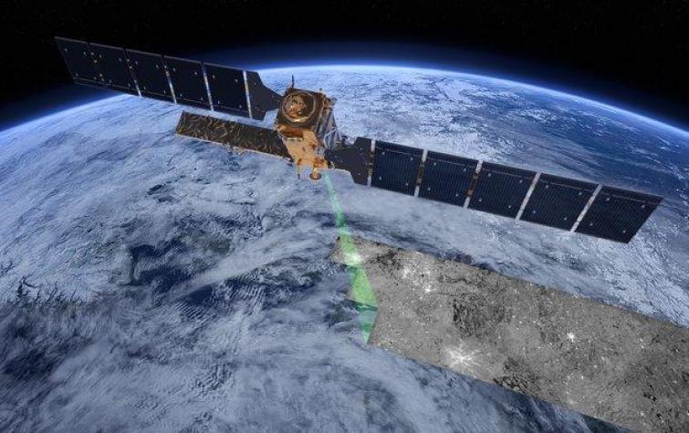
Satellite remote sensing provides a timely and efficient method of detecting fire, but choosing the...
19 Sep 2018
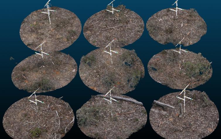
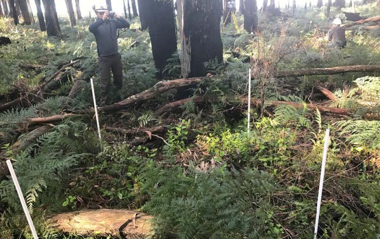
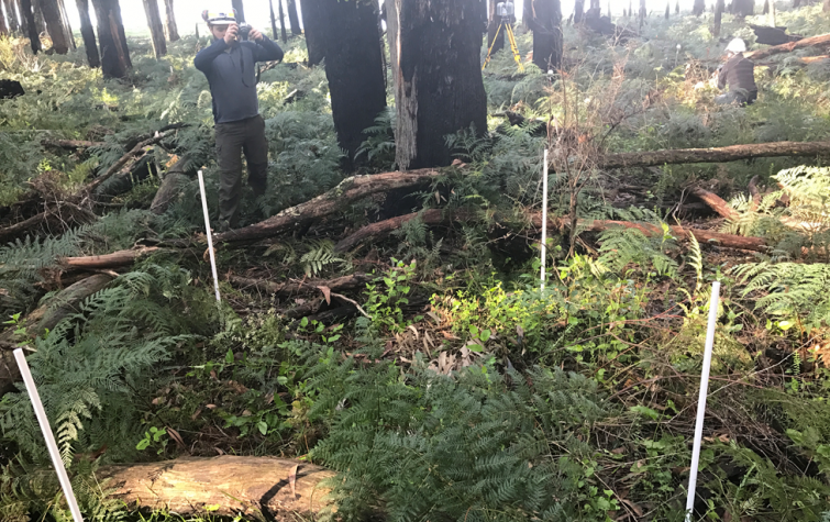
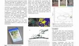
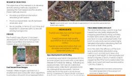
Fuels3D is a smart-phone app coupled with photogrammetry and computer vision techniques to produce...
29 Jun 2017
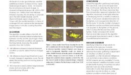
Himawari-8 presents exciting opportunities to map fires in near real time. Exploiting information...
29 Jun 2017
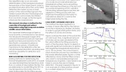
Accurately estimating background temperatures is vital for identifying fire using remote sensing....
29 Jun 2017
The Fuels3D app provides a low cost data collection method for estimating fuel hazard metrics....
14 Aug 2016
New algorithm, AHI-FSA (AHI fire surveillance algorithm) is introduced to map fire line at 500m...
14 Aug 2016
Current methods of fire detection using remote sensing rely on contextual algorithms to...
14 Aug 2016
This project aims to attribute fire landscapes using the latest remote sensing technology.
18 Aug 2015
In the last decade A range of sensing technologies, techniques and platforms have emerged to...
18 Aug 2015
Active fires are inscreasingly being identified using satellite remote sensing to determine their...
Resources credited
| Type | Released | Title | Download | Key Topics |
|---|---|---|---|---|
| Presentation-Slideshow | 17 Oct 2019 | Fuels3D |
|
fire, fire impacts |
| Presentation-Slideshow | 27 Aug 2019 | Fuels3D and the assessment of bark hazard |
|
fire, fire impacts |
| Presentation-Slideshow | 07 May 2019 | Fuel hazard mapping and fire surveillance |
|
|
| Presentation-Slideshow | 18 Sep 2018 | Experiences in the in-field utilisation of Fuels3D |
|
fire, fire severity, modelling |
| Presentation-Slideshow | 07 Sep 2017 | Mapping the efficacy of an Australian fuel reduction burn using Fuels3D point clouds |
|
fuel reduction, modelling, prescribed burning |
| Presentation-Slideshow | 07 Sep 2017 | Enhanced estimation of background temperature for fire detection using new geostationary sensors |
|
fire, fire impacts, remote sensing |
| HazardNoteEdition | 28 Nov 2016 | Monitoring and predicting natural hazards |
|
forecasting, modelling, severe weather |


