Dr Bryan Hally

Completed PhD student
About
Dr Bryan Hally

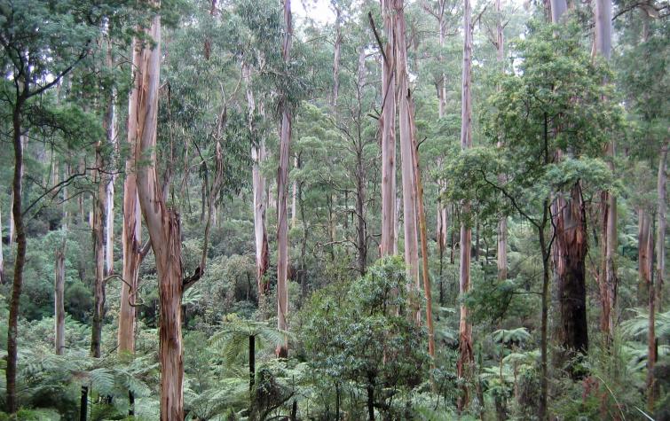
Dr Bryan Hally’s project developed new ways to provide quantitative analysis of the effectiveness of prescribed burning using terrestrial and airborne LiDAR techniques. Using a series of case studies of varying forest types, Bryan compared his measurements to existing vegetation assessment techniques to provide objective analysis of burn effectiveness. He then developed a model for the simulation of active fire landscapes which will validate a range of satellite remote sensors.

Bryan is currently working in the Geospatial Sciences department at RMIT University where he is a researcher, assisting in forest fuel attribution and forest structure projects. This included research on the CRC’s Fire surveillance and hazard mapping project.

His thesis is available here.

Student project

This project developed new ways to provide quantitative analysis of the effectiveness of prescribed burning using terrestrial and airborne LiDAR techniques. Using a series of case studies of varying forest types, Bryan compared his measurements to existing vegetation assessment techniques to provide objective analysis of burn effectiveness. He then developed a model for the simulation of active fire landscapes which will validate a range of satellite remote sensors.
Supervisory panel:
The problem of context – understanding the estimation of fire background temperature in South-Eastern Australia
19 Sep 2018
Satellite remote sensing provides a timely and efficient method of detecting fire, but choosing the...
The detection and surveillance of active fire using Himawari-8
29 Jun 2017
Himawari-8 presents exciting opportunities to map fires in near real time. Exploiting information...
The diurnal cycle and its role in fire detection using Himawari-8
29 Jun 2017
Accurately estimating background temperatures is vital for identifying fire using remote sensing....
Bryan Hally Conference Poster 2016
14 Aug 2016
Current methods of fire detection using remote sensing rely on contextual algorithms to...
Luke Wallace Conference Poster 2016
14 Aug 2016
This project aims to attribute fire landscapes using the latest remote sensing technology.
Disaster Landscape Attribution: Low Cost 3D Monitoring of Fuel Hazard
18 Aug 2015
In the last decade A range of sensing technologies, techniques and platforms have emerged to...
Disaster landscape Attribution: Attributing Active Fire Using Simulated Fire Landscapes
18 Aug 2015
Active fires are inscreasingly being identified using satellite remote sensing to determine their...

Send a message to Dr Bryan Hally (via CRC)

User Contact