Research leader
Research team
End User representatives
Student researchers
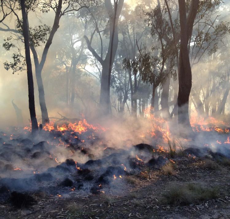
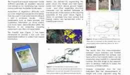
This project sought to optimise the use of earth observing systems for active fire monitoring by exploring issues of scale, accuracy and reliability, and to improve the mapping and estimation of post-fire severity and fuel change through empirical remote sensing observations. Understanding the trade-offs between sensors and their ability to map and measure fire-related attributes over a range of different landscapes and fire scenarios is important.
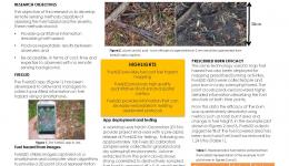
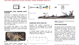
The study has improved the accuracy of vegetation monitoring for flammability, as well as saving critical man hours through the development of a beta smartphone application. Fuels3D, built on the Android platform, allows land managers to rapidly collect imagery in the field and uses computer vision and photogrammetric techniques to calculate measures of fuel and severity metrics.
Additionally, this project is leading Australian contributions to integrate and enhance Australianled existing disaster monitoring and reporting systems with next generation earth observation technology and systems from the German Aerospace Centre and other agencies.
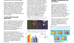
Outcomes are enabling satellite measures of fire activity to be made, which in turn have the potential to inform or support efforts in bushfire response planning and fire rehabilitation efforts. A particular focus is on the analysis of data obtained from Himawari-8, which is able to provide updated imagery on a 10 minute basis.
The project used simulations and real world experiments to determine the accuracy with which fires can be detected, their temperature and shape determined, for a range of landscapes. The project also created new techniques and protocols for the rapid attribution of fire landscapes (pre- and post-fire). These techniques seek to add quantitative vigour to existing fuel hazard estimation practices.
Read the final project report here, and the Fuels 3D final report here.

