Sam Hillman
Sam Hillman’s PhD is investigating the utility of point clouds for fuel hazard estimation. His project will explore the use of image-based point clouds generated from consumer-grade cameras and terrestrial laser scanners for describing cover, height and structure characteristics of below canopy vegetation.
Sam is also a seasonal firefighter and application developer for Forest Fire Management Victoria. In his role, he works in consultation with operational staff to develop mapping products for data collection and fuel hazard estimation. Sam was awarded the 2019 International Association of Wildland Fire scholarship, receiving US$3,000 toward his PhD.
Student project
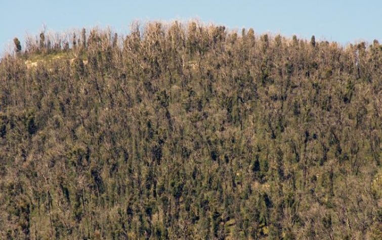
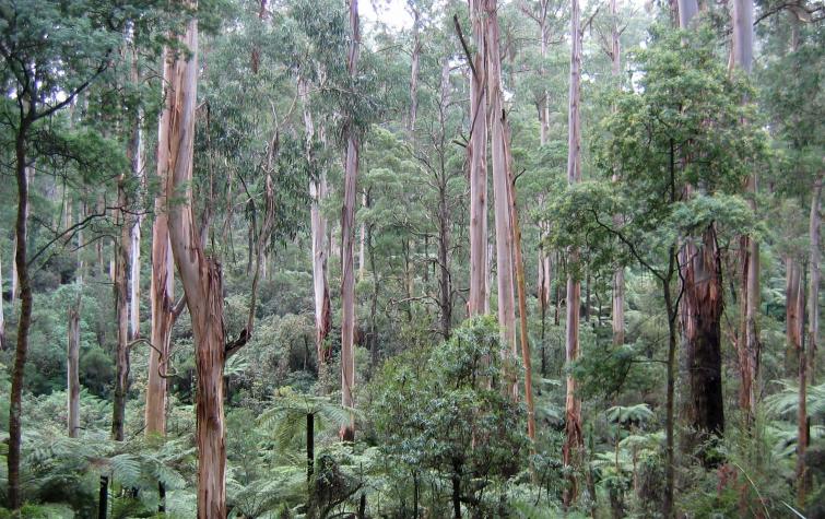
Quantifying and characterising vegetation as fuel is essential for informing a wide range of fire management activities such as assessing bushfire risk, planning fuel treatments, and managing smoke emissions.
Lead end user


Resources credited
| Type | Released | Title | Download | Key Topics |
|---|---|---|---|---|
| Presentation-Slideshow | 17 Oct 2019 | Fuels3D |
|
fire, fire impacts |
| Presentation-Slideshow | 27 Aug 2019 | Fuels3D and the assessment of bark hazard |
|
fire, fire impacts |
| Presentation-Slideshow | 07 Sep 2017 | Mapping the efficacy of an Australian fuel reduction burn using Fuels3D point clouds |
|
fuel reduction, modelling, prescribed burning |