Related
Within the Australian school setting there is currently no nationally coordinated approach to the teaching of disaster resilience education and the delivery of student focused and participatory disaster risk reduction programs.
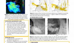
Between 20-23 April 2015 the eastern coast of Australia was affected by a low-pressure system, known as an east coast low, which brought flooding, damaging winds and coastal erosion. This study utilises ensemble simulations to get a better understanding of the dynamics of this event, as well as its predictability. This is important for both forecasters and emergency services.
Exposure information comprises the details needed to support various phases and all levels of governance in disaster management. There is a wide variety of fundamental data required for end users and also analysts to enable informed decision making.
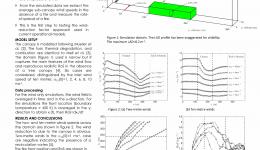
- Simulations of a fire entering, propagating under and leaving a tree canopy are conducted using FDS [1], a physics-based model.
- The presence of a tree canopy effects the wind speed, which in turn effects the rate-of-spread of a fire.
- From the simulated data we extract the average sub-canopy wind speeds in the absence of a fire and measure the rate-of-spread of a fire.
- This is the first step to testing the wind-reduction factor approach used in current operational models.
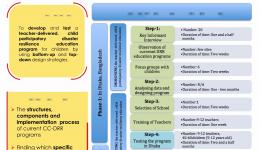
This PhD Project involves a cross-cultural study on disaster resilience education for children within the framework of a participatory action research paradigm aligning with a child-centred disaster risk reduction (CC-DRR) ethos.
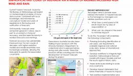
This project will develop a pilot capability to predict impacts of extreme wind and rainfall on the built environment with the goal of improving timely mitigating actions by a wide range of stakeholders. This pilot project will initially focus on east coast low events that often severely impact the subtropical east coast of Australia via a range of hazards including high wind and rain.
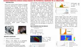
The focus if this research is to assess the performance of existing composite steel girder bridges to most bushfire (bf) fire events. Effect of a bushfire was first evaluated based on available experimentally measured bushfire time temperature data. Then the bushfire itself and its effect were calculated with physics based fire dynamic analysis. The aim of this research is to identify a range of critical fuel geometries and fields characteristics which could result in potential damage to a structure.
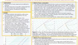
Some bushfires exhibit extreme behaviour that exceeds the bounds of existing predictive guides. Coupling between the fire and the atmosphere has been invoked as a cause of such unexpected behaviour. Events of this type are uncommon and cannot be investigated by conventional field experiments. This modelling project allows complex interactions between a fire and the atmosphere to be studied, potentially providing physically-based explanations that will lead to more reliable predictions and reduced risk to firefighters and the community.
There is a real need in disaster resilience education for a more complete evaluation process by researchers and practitioners. The majority of evaluations have relied on knowledge retention being recapitulated in an interview or survey situation and not applied as many of these messages are intended. The focus of evaluations of disaster resilience education programs has been to assess the knowledge transfer to participants, but often neglects the skill development and application as well as changes in behaviour, in particular long term choices.
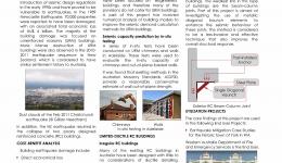
Seismic design and assessment of irregular reinforced concrete buildings in the regions of low to moderate seismicity such as Australia is investigated in this poster.
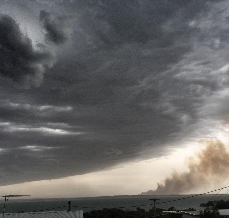
In favourable atmospheric conditions, large hot fires can produce pyrocumulus cloud: deep convective columns resembling conventional thunderstorms. These in turn may generate strong surface winds, dangerous downbursts and lightning strikes that may enhance fire spread rates and fire intensity, cause sudden changes in fire direction, and ignite additional fires.
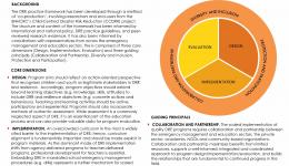
Disaster resilience education for children and young people has been identified as a key mechanism for reducing disaster risk and increasing resilience. This practice framework aims to provide Australian emergency management agencies with a strategic, evidence-based approach to the development of disaster resilience education programs that build the capacity of children and young people to become agents of change in their households, schools and communities.
This project is addressing the need for an evidence base to inform decision making on the mitigation of the risk posed by Australian buildings subject to earthquake.
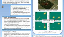
The research conducted throughout this PhD aimed to improve the understanding of wind flow over complex terrain through developing a statistical characterisation. This improved understanding complements current approaches to provide a more informed wind modelling framework, including considerations of variability and uncertainty, for bushfire prediction. This aim is achieved through four key contributions to the scientific research community.
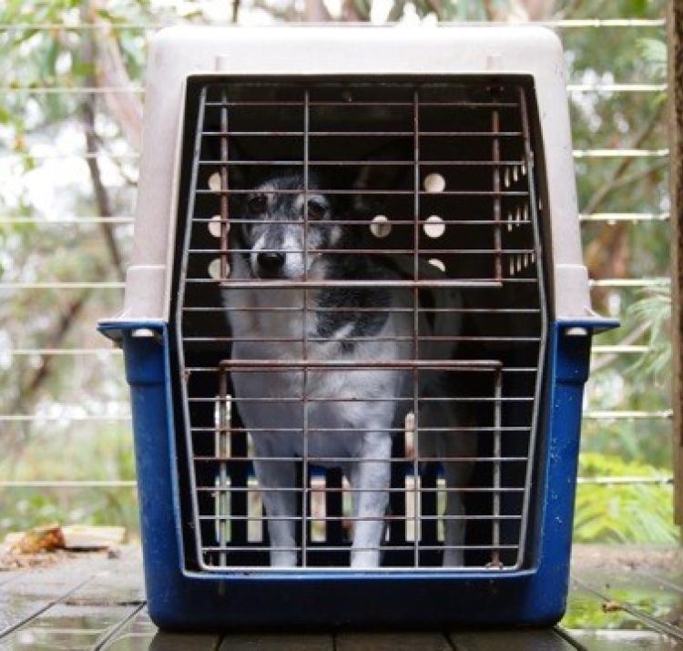
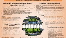
This project aims to identify and build best practice approaches to animal emergency management to enable engagement with animal owners, and other stakeholders in disasters and emergencies.
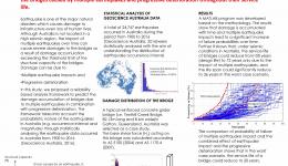
Although Australia is not located in a high seismic region, the damage accumulation caused by multiple earthquake impacts could still have a significant impact on the service life of bridges. In this study, a reliability‐based assessment framework is presented to quantify the damage accumulation of the bridges caused by multiple earthquakes and progressive deterioration throughout their service life.
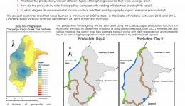
This project will seek to answer the following questions:
- What are the productivity rates of different types of firefighting resource that work on large fires?
- How do the productivity rates for large fires compare with existing initial attack productivity rates?
- To what degree do environmental factors, such as weather and topography impact resource productivity?
Narrowing the awareness-action gap: cultivating a culture of routine all-hazards preparedness through public policy initiatives - a case study from South Australia, the "driest state in the driest continent"
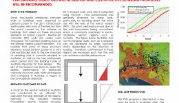
The focus of this research is to assess the performance of existing reinforce conrete (RC) wall and core buildings in response to a rare or very rare earthquake event in Australia. Ultimately, fragility functions for different performance objectives will be derived and cost effective detailing provisions will be recommended.
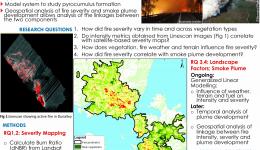
- Extreme fire which burnt ca. 25,000 ha
- High smoke plume injection, carrying emissions to upper atmosphere
- Model system to study pyrocumulus formation
- Geospatial analysis of fire severity and smoke plume development allows analysis of the linkages between the two components
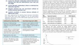
The main goal of this study is to determine the optimal procedure for the estimation of above-ground biomass in north Australian mesic savannas by using LIDAR remote sensing based methods.
The aim of this project is to examine evidence-based strategies that motivate appropriate action and increase informed decision-making during the response and early recovery phases of natural disasters. These are the results from work conducted over 2014-2017. We will be expanding on this project during 2017-2020.
This project aims to investigate windstorm risk mitigation by: (a) developing vulnerability models for structural strength of housing from field and laboratory observations and (b) evaluating potential upgrading and retrofitting solutions for residential structures.
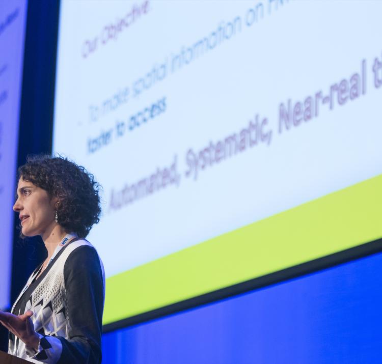
Himawari-8 presents exciting opportunities to map fires in near real time. Exploiting information across temporal and spatial domains enables a new paradigm in fire detection and surveillance.
Can graph theory techniques help with emergency response and optimal lifeline network recovery?
As-built single nailed batten to rafter connections were tested under fluctuating dynamic loads determined from a wind tunnel study. Using connection testing data, non-linear time-history structural analysis was performed on a section of a roof to capture the effects of load sharing and redistribution during nail slips and progressive failures.
Accurately estimating background temperatures is vital for identifying fire using remote sensing. New temporal-based methods for temperature estimation are harnessing the increased stream of imagery from new satellite sensors to improve our understanding of the diurnal cycle of the landscape.
Who is most at risk? Why? What are they doing? How have vulnerability and exposure trends changed over time? What can we learn about the circumstances of these deaths? This information will assist agencies with planning, resourcing and community education.
Internal pressures are generated inside a building during a wind storm from openings in the envelope. Internal pressures contribute to a large portion of the loads on a building, failures due to internal pressures are often seen post events. This project aims to provide more accurate internal pressure design criterion for wind loading standards, thus increasing resulience, survivability and improve vulnerability modeling of all building stock in Australia.
The Fuels3D app provides a low cost data collection method for estimating fuel hazard metrics. Testing of the app has demonstrated that it provides significantly greater repeatability and improved quantification of metrics than visual assessments.
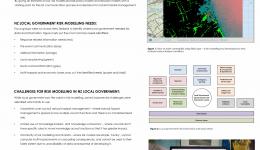
Demand for natural hazard risk modelling has significantly increased over the last few decades as we seek to use risk modelling to assess the consequences for hazard scenarios we have little historical information about.
By giving an estimate of loss, risk models provide policy makers and decision makers with a starting point for the risk communication process and decisions for natural hazard management.
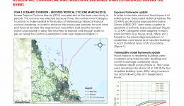
A modified severe Tropical Cyclone Marcia (2015) landfall event was generated. The modified case study creates a worse case wind and flood scenario for the town of Yeppoon, Queensland, with additional wind and flood impacts to residentia, commercial and industrial buildings than experienced during the event.
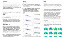
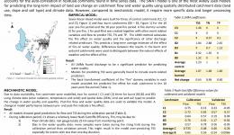
Extreme temperature and deficits in soil moisture provide ideal conditions for bushfires. The mechanisms and strength of this relationship vary significantly depending on energy partitioning and climate within a region. This study investigates the relationship between the number of hot days and four soil moisture proxies across the climate regimes of Australia
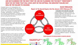
When plans have an over-reliance on what happened in the past, the risk is that one misses the potential for a future that is different, unseen, and unimaginable. Hindsight, learning the lessons of the past, is necessary, but planning should be driven also by imagination and foresight. Are we planning for the next fire? Or are we planning for the next 'firestorm'? What do we think that will look like? In this setting, the greatest failure may well be the failure to imagine.
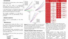
Fuel on the ground, such as leaves, twigs and decomposing matter, accumulate over time and account for a large percentage of the total fuel load in forests. The air permeability of the litter layer is a critical factor that influences fire behaviour because the aire permeavility controls the amount of oxygen available for the combustion in the fuel bed.
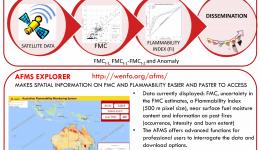
The first national-scale, pre-operational, near-real time live fuel moisture content and flammability monitoring system for Australia.
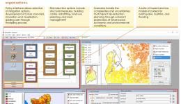
UNHaRMED is a spatial decision support system (DSS) for planners and policy makers to assist in the reduction of risk from multiple natural hazards, transforming planning risk reduction in Australia.
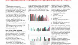
The limited availability of high quality data about bushfires restricts the rate at which research can advance. Here we argue for a minimum standard of data collection from every bushfire event to enhance the advancement of fire behaviour research and make research findings more internationally relevant.
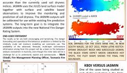
New approaches are available to calculate soil dryness more accurately through the use of satellite remote sensing measurements, land surface modelling and data analysis techniques.
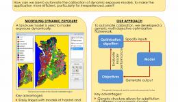
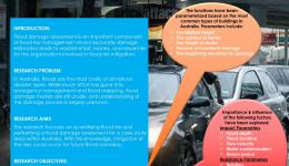
Effective risk mitigation strategies must be designed for long-term resiliency across a range of potential future scenarios. This requires efficient application, particularly by inexperienced users, of dynamic exposure models.
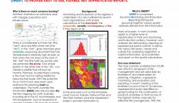
The work undertaken through the Bushfire and Natural Hazards CRC is part of a savanna-wide program of mostly web based fire mapping and related information to assist land managers with fire planning across very large tracts of land. We are developiuung the Savanna Monitoring & Evaluation Reporting Framework (SMERF) to provide easy to use, flexible, but sophisticated reports.
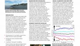
This research aims to produce probabilistic assessments of the coastal erosion and inundation risks associated with storms, particularly for coincident or clustered events, thereby helping to strengthen the resilience of coastal communities.
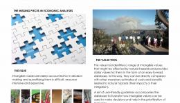
Natural Hazards impact many things that people value: life, health, amenity, safety, recreation and the environment. Quanfiying the impact of natural hazards on these intagible things is not easy. But if we do not include them, we are missing a big part of the picture.
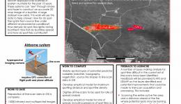
Occurence of spot-fires is very difficult to obserfve and predict, especially in extreme bushfires. Interrogating 15 years worth of bushfire line-scans can help to predict this phenomenon accurately.
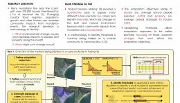
The impact of changing coastal inundation hazards to people and property becomes increasingly uncertain across multi-decadal timeframes. Identifying 'thresholds' can better inform long-term coastal adaptation planning at local, state and national scales.
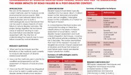
Road infrastructure plays an important role after a disaster and is a vital factor influencing recovery and reconstruction activities. This project aims to develop a framework to measure social, environmental and economic consequences of disaster related road failure, which will help to understand the wider impacts of road failure in a post-disaster context.
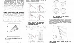
Junction fires occur when two oblique fire lines intersect with one another. The interaction of the two fire lines means that junction fires can exhibit unexpected fire behaviour, with enhanced rates of spread in the vicinity of the junction point. Quantifying these interactions is essential for the development of next generation fire spread models, which will allow prediction of dynamic fire propagation.
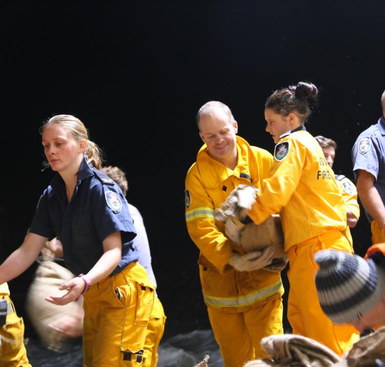
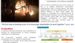
This evaluation revealed that firefighter involvement in Youth Justice Conferencing:
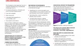
People are one of the most important resources for an organisation. Who is employed and why, and how they are managed, is a key determinant in an organisation's capability to adapt and survive changing circumstances.
This project focuses on looking for ways to improve operational fire-spread modelling by looking for computationally cheap techniques to model dynamic fire spread, and by the incorporation of spotting.
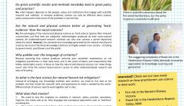
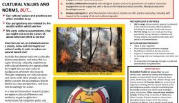
Scientific knowledge is not an objective 'truth' that provides answers for risk mitigation. Many other knowledge sources are required, including how scientific knowledge is used and contested by diverse groups in society.
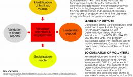
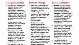
Volunteers were surveyed to identify the dominant and shared values of volunteers in the NSW SES and SA SES followed by participatory action research with units in the NSW SES. The findings have implications for all facets of volunteer engagement in the emergency service sector, including targeted recruitment, tailored training, differentiated management strategies, new models of engagement, and the alignment of organisational and personal values.
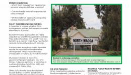
Flooding is Australia's most expensive natural hazard. Climate change scenarios predict increasing flood intensity and frequency. This potentially exposes Australia to greater damages in the future, making flood management key to improving adaptive capacity. This research explores whether ‘resilience’ strategies will result in outcomes that are truly adaptive.
Volunteers are the lifeblood of Australian emergency services and constitute a unique skilled workforce that provides an essential public service. A number of emergency services have experienced annual volunteer turnover exceeding 20%, with major financial and capability implications. The research is seeking to better understand the primary motives for volunteering in Australian emergency services, and to determine what role the alignment of individual, unit and corporate values plays in volunteer satisfaction and turnover.
This project has three main research streams that are:
- Providing enhanced methods of making decisions;
- Developing methods to better monitor and modify the behavior of teams
- Identifying the enablers and barriers to organizational learning
Building community resilience to natural disasters is a complex challenge that spans many policy areas. This project tackles it by delivering policy options that could help governments and emergency services to strenthen resilience in communities.
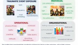
This study aims to:
- Identify the prevalence of posttraumatic stress disorder, depression, anxiety and alcohol use in the sample
- Understand whether individual, operational and/or organisational factors contribute to worse mental health outcomes more than exposure to potentially traumatic events and which contribute to better mental health
- Identify whether there are subgroups of firefighters who are more or less impacted by the work
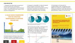
This project aims to develop a framework for understanding the ownership of risks from bushfires and natural hazards at the institutional level in order to improve risk governance.
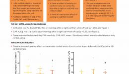
How does working on-call from home affect your stress? Are you stressed in anticipation to a night call? Are you more stressed the day after a night call?
Disaster resilience policy is being implemented via a range of programs and activites across Australia - effective implementation is critical for ensuring successful outcomes.
This project aims to use hydrologic models and data assimilation theory to estimate catchment wide rainfall.
Prescribed burning is a widely accepted wildfire hazard reduction technique, however knowledge of its effectiveness remains limited.
This project investigates the use of remotely sensed soil moisture data and flood extent/level to improve hydrologic and hydraulic modlling for operational flood forecast.
Soil organic matter has strong effects on soil properties such as water holding capacity, soil structure and stability, nutrient availability and cation exchange capacity. Bushfire can change these properties depending on intensity and duration of heating. Pyrolysis coupled to gas chromatography-mass spectrometry (pyr-GC-MS) is a novel technique that can been used for soil characterisation.
The primary focus of this study is an improved methodology for quantifying flood risk. The outcome is substantial for decision-makers dealing with flood risk management for prioritisation of risk mitigation options and choosing best practice.
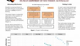
How does prescribed burning effectiveness in mitigating risk depend on the diverse and changing biophysical, climatic and human context of southern Australia?
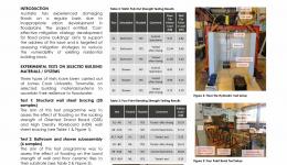
The main objective of this research was to assess the strength and durability implications of immersion of key residential building materials/systems in slow water-rising conditions. The research will help to ascertain where deterioration due to wetting and drying needs to be addressed as part of repair strategies.
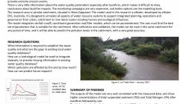
This research is designed to develop a spatial approach to support the planning of the water quality in the areas subjected to bushfires, using a case study from the State of Victoria. In particular, this research involved the implementation of a hydrological model in order to predict the river water quality, to assist in the decision‐making process.
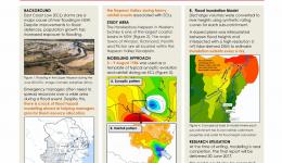
The Hawkesbury-Nepean River is one of the largest coastal river catchments in NSW and home to over one million people. This project aims to assist emergency managers visualise the evolution of flood risk in the Nepean Valley during heave rainfall events associated with east coast low storms.
Wildfire removes the surface vegetation, releases ash, increases erosion and runoff, and therefore effects the hydrological cycle of a forested water catchment. It is important to understand changes in water quality in fire‐impacted catchments and how they recover post‐fire.
Flood fatalities are on the rise despite appeals to the general public for behavioural change. While much is known about the demography of flood driving fatalities, less is known about the psychological mechanisms of flood driving behaviour and how this might be used to influence behaviour change.
This new action‐research project will:
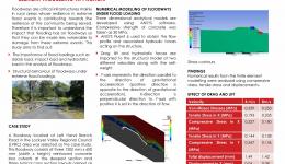
It is important to investigate the vulnerability of floodways in an extreme flood event as these critical infrastructures contribute to the resilience of the rural community that they serve during and in the recovery stage of the event. This study aims to analyse the behaviour of floodways under flood loadings using a finite element modelling approach.
Australia faces increasing losses from natural hazard events. Resilient communities will be better able to anticipate hazards, withstand adversity, reduce losses and adapt and learn in a changing environment. The Australian Natural Disaster Resilience Index is a system to assess and report the resilience of Australian communities to natural hazards.
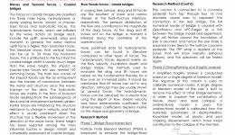
A fluid structure interaction using particle finite element method for the full scale reinforced concrete bridge is built to simulate the deformations of bridge piers under flood loads. The critical pier will then be tested using 6-degree of freedom system, from which the finite element model of bridge model will be calibrated. Fragillity assessment of bridge pier before and after strengthening will be performed to study the effectiveness of strengthening for enhancing the resilience of bridges under flood loads.
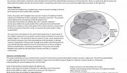
This project will address two complimentary areas of research relating to the long term recovery of communities after a disaster.
Resistance to flood is a critical parameter affecting the design of the bridges. Typical design process would convert the flood loading in to a static force which can not reflect the full effect of flood loading on piers of different shape. Therefore it is important to investigate the effect of flood loading on piers of different shape. This work simulates the flooding effect on the piers using a finite volume method in ANSYS Fluent. The pier is modelled as a column with a square cross section or a circular cross section.
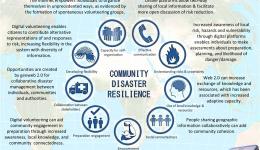
Adoption of location-based information sharing technologies and the emergence of digital volunteering has seen changes to community involvement in disaster management. We examine how geoweb 2.0 platforms, including crowd mapping and social media, can support elements of resilience building, and how these practices potentially undermine resilience.
The main objective of this research is to develop cost-effective strategies to mitigate damage to residential buildings from riverine floods. The research will provide evidence-based retrofit strategies for decisions concerning the buildings with the greatest vulnerability in Australian communities.
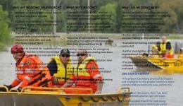
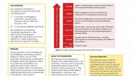
A risk-benefit framework has been designed to assist decision-makers in emergency management organisations (EMOs) consider potential benefits and risks of six strategic options for ‘non-traditional’ emergency volunteers in response and recovery phases.
Under what circumstances is it likely that a statutory authority within the emergency management sector will be held to be legally accountable for warning or failing to warn, including when using social media?
This study aims to understand a community's experience of the 2013 Forcett bushfire disaster in southeast Tasmania.

