Research leader
Research team
End User representatives
Student researchers
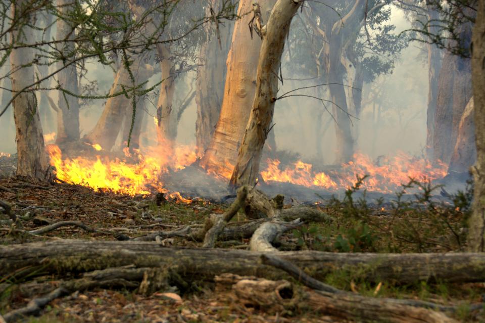
Fire managers often have multiple objectives for a given prescribed burn centred around risk reduction and conservation of biodiversity. The ability to predict the effects of prescribed burning on the capacity of forests to deliver ecosystem services such as clean air, carbon sequestration, and a reliable and high-quality supply of water is becoming increasingly more important.
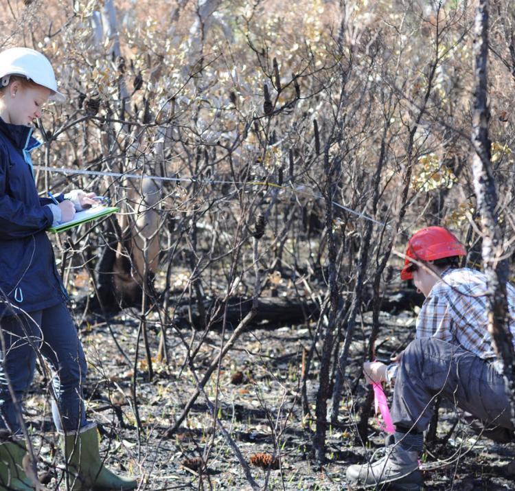
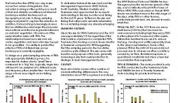
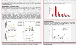
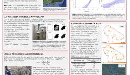
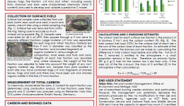
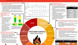
This research represents a concerted effort to understand the effect of prescribed burning on water quantity and carbon losses and gains in forested ecosystems in south-eastern Australia. The research team collected empirical data from over 100 sampling sites treated with a recent prescribed burn. The sampling strategy used was consistent over time with target sampling variables included for estimation of overstorey and understorey biomass and direct sampling of surface and near surface fuel loads. Site selection was stratified to accommodate as much site variability as possible and to take full advantage of prescribed burn plans.
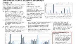
Data collected from the field was used in a variety of modelling assignments to capture the effect of prescribed burning on changes in water availability and transformation of carbon pools. Using a mixture of models and empirical sampling and analysis, the research showed that there are few risks to long-term carbon and water cycles when prescribed burning is conducted on cycles of 10 or so years. Critical to this analysis is the frequency of bushfires – if the inter-fire interval of unplanned fires becomes short (e.g., <50 years) then ecosystem losses of carbon and reductions in water yield are likely to become semi-permanent features.

