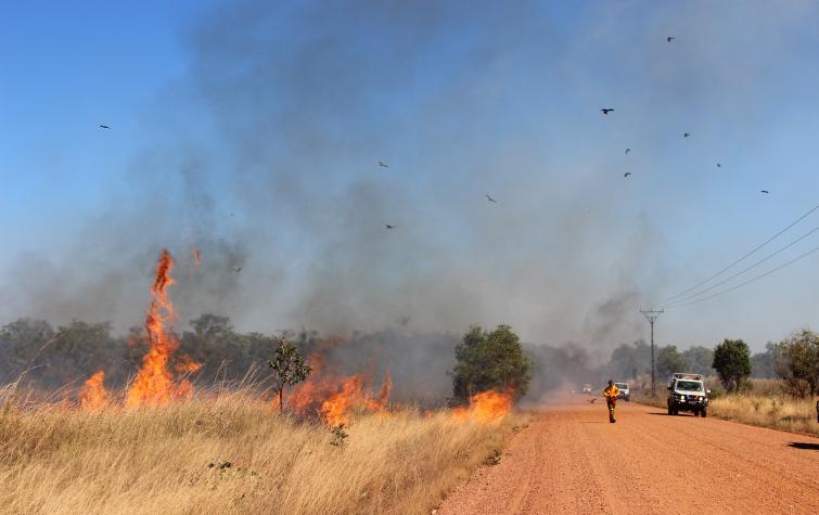
Dr Andrew Edwards has worked with Dr Jeremy Russell-Smith in bushfire research in the tropical savannas of northern Australia since 1996, relating satellite remote sensing and extensive field survey data through spatial analysis. Andrew has been involved in vegetation sampling, burnt area mapping, data collation and analysis of a long-term monitoring program in 3 of the large national parks in northern Australia including the World Heritage Listed Kakadu National Park. Andrew's development of a regional GIS including high resolution fire history and habitat mapping over the 28,000 km2 West Arnhem Land region was a part of the development of the Savanna Burning methodology for greenhouse gas emissions abatement accepted by the Australian Government's Carbon Farming Initiative, and included extensive survey work describing the seasonality of patchiness and fire severity, and the accumulation of bio-fuels for that methodology.
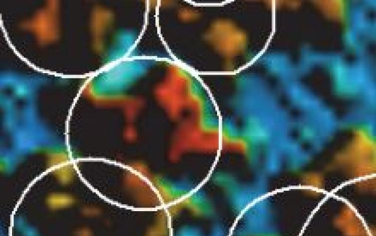
Andrew graduated with a PhD from Charles Darwin University in 2011 where he developed an algorithm for the satellite remote sensing of the level of fire effect on fire-prone tropical savanna vegetation. This fire severity mapping will become part of the research groups North Australia Fire Information web site, providing land managers of the nearly 2 million km2 of tropical savanna landscape in north Australia with additional information to better manage fire in the region, it will provide annual mapping of fire severity for inclusion in future versions of Savanna Burning methodologies, and it will provide greater detail for conservation management modelling.


