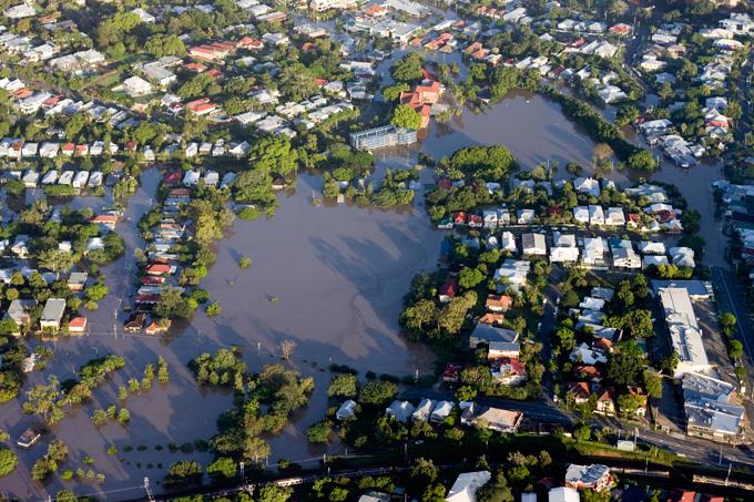
iStock_000019955974web.jpg

Project Status:
- Research + Utilisation
Research leader
End User representatives
Research team
Student researchers
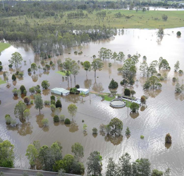
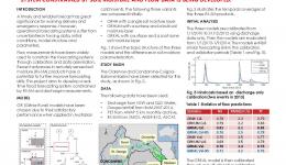
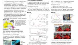
Accurate flood predictions are critically important for limiting the damage caused by floods. Flood forecasting systems are based on models that require large volumes of data, such as rainfall forecasts, detailed measurements and high-resolution topography. However, flood forecasts are prone to uncertainty due to a lack of detailed measurements, and possible errors or oversimplifications in the models and/or data sets. Remote sensing is the science of obtaining information about objects or areas from a distance, typically from aircraft or satellites. This research is integrating this type of data on soil moisture and flood extent with rainfall and runoff models, which will lead to more accurate flood predictions. It will develop a remote sensing-aided methodology that can eventually enable forecasting models that predict the volume of water entering the river network to be applied anywhere in Australia.
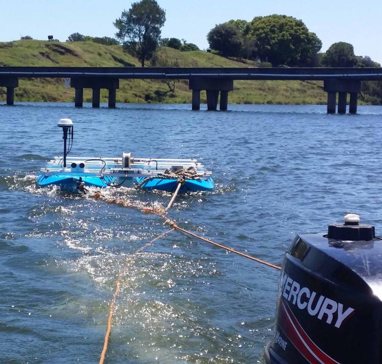
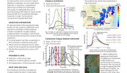
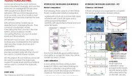
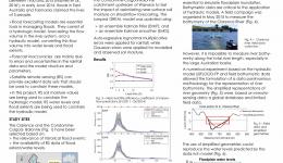
The team set up a forecasting system for two test basins: the Clarence in northern New South Wales and Condamine-Balonne-Maranoa in southern Queensland. Both areas were chosen because they are prone to frequent flooding. The team has determined the parameters of the hydrologic model using discharge data and remotely sensed soil moisture data and are developing strategies to correct model outputs automatically. The hydraulic model calibration and incorporation of remotely sensed data is ongoing. Specifically, the project is developing a method to determine effective river cross-sections because it is difficult to measure the river bathymetry (riverbed topography) in a detailed way for large basins. The team has acquired river cross-section data in strategic locations on two field visits.
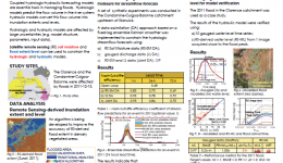
For the hydrologic model, it was found that joint calibration using discharge and soil moisture leads to more robust results than traditional calibration using only discharge data. In other words, the model degraded slightly during the calibration period but improved during the validation period. Including soil moisture in the calibration improved the simulations for the ungauged sub-basins.
Because rainfall is highly uncertain, streamflow data was used to estimate the rainfall volumes for the duration of the flood.
The team have also completed a preliminary analysis of a proposed new method for improving the detection of flooded areas in densely vegetated catchments. It involves using simplified river geometries that are based on a combination of limited field data sampled at strategic locations, global databases and remote sensing data.
A workshop at Geoscience Australia was held in October 2016, streamlining the use of the remote sensing techniques developed in this project for the Geoscience Australia Water Observations from Space product. Geoscience Australia will use the method developed in this project to classify the areas monitored as being flooded or not flooded. This will start in the second phase of the project.
By improving real-time flood prediction, this research is expected to improve the accuracy of flood warnings, resulting in a decrease in flood damage and potentially loss of life.
The researchers are completing phase one of the study and have a broad program planned for phase two. It includes a comparison of different remote sensing-based, soil-moisture products, such as surface soil-moisture retrievals and root-zone, and soil-moisture analysis, for hydrologic model updating. The team will also develop a model-data fusion algorithm for a hydrologic forecasting system to optimally use both remotely sensed soil moisture and stream-flow measurements.
The project will validate rainfall estimations using remotely sensed soil moisture observations. It will also develop a remote sensing-aided methodology to derive effective river-transect data for large catchments, and to improve the accuracy of digital elevation models for large catchments. This methodology will eventually enable hydraulic models to be applied anywhere in Australia.
Accurate, timely and precise Forecast precipitation is the “holy grail” of flood forecasting; this project aims to use observation constrained hydrologic models to estimate precipitation.
Accurate, timely and precise forecast precipitation is the "Holy Grail" of flood forecasting; this project aims to use observation constrained hydrologic models to estimate precipitation.
Accurate flood forecast is essential to save lives and reduce damages.How far can we get using remote sensing data to calibrate and constrain in real time a Coupled Hydrologic - hydraulic model?
Flood forecasts suffer from various SOURCES of uncertainties. This project investigates the benefit of using remotely sensed soil moisture data for hydrological model calibration and updating. A real-time forecasting system constrained by soil moisture and flow data is being developed.
The use of remote sensing data in operational flood forecasting is currently receiving increasing attention.
This project aims to use hydrologic models and data assimilation theory to estimate catchment wide rainfall.
This project investigates the use of remotely sensed soil moisture data and flood extent/level to improve hydrologic and hydraulic modlling for operational flood forecast.
Linked Projects
Project | Leader | Affiliation |
---|---|---|
Improving flood forecast skill using remote sensing data | Assoc Prof Valentijn Pauwels | Monash University |
Resilience to clustered disaster events on the coast - storm surge | Dr Scott Nichol | Geoscience Australia |
Developing better predictions for extreme water levels | Prof Charitha Pattiaratchi | University of Western Australia |
Project | Leader | Affiliation |
---|---|---|
Fire surveillance and hazard mapping | Prof Simon Jones | RMIT University |
Mapping bushfire hazard and impacts | Dr Marta Yebra | Australian National University |