Prof Albert van Dijk

Researcher
About
Prof Albert van Dijk

Albert Van Dijk leads the Water and Landscape Dynamics Group at the Fenner School of Environment and Society.

From 1996 to 2003, he studied aquifer hydrology, tropical land management and the carbon cycle, and lectured in ecohydrology at VU University Amsterdam. From 2003 to 2012, he was with CSIRO Land and Water, investigating the influence of vegetation management on land and water resources, the Murray-Darling Basin water system, environmental remote sensing, model-data fusion, and monitoring and forecasting water availability and drought. Albert led development of the Australian Water Resources Assessment system, a large observing and modelling system that underpins several of the Bureau of Meteorology’s water information services. He has authored more than 130 publications. He is adjunct science leader with CSIRO Land and Water, and chairs the Australian Energy and Water Exchange Initiative (OzEWEX).

Research team

Type Project Research team
CRC Core Project Mapping bushfire hazard and impacts gcary, avandijk

Resources credited

Type Released Title Download Key Topics
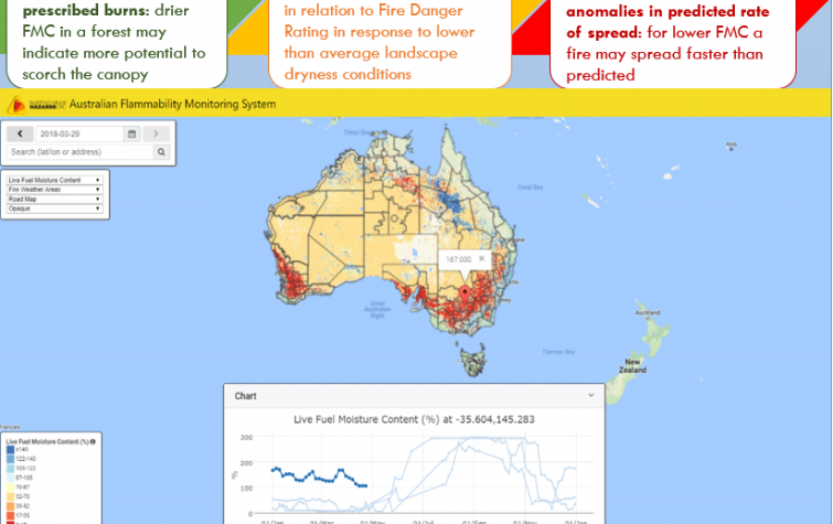
HazardNoteEdition 22 Jan 2021 The Australian Flammability Monitoring System: providing a clear picture of landscape dryness PDF icon Save (768.18 KB) fire, fire impacts, remote sensing
Presentation-Slideshow 17 Oct 2019 Mapping bushfire hazard and impacts PDF icon Save (8.51 MB) fire, fire impacts, fire severity
Presentation-Slideshow 27 Aug 2019 Towards comprehensive characterisation of flammability and fire danger In the Australian Flammability Monitoring System PDF icon Save (3.57 MB) fire impacts, remote sensing
Presentation-Slideshow 07 May 2019 Mapping bushfire hazard and impacts PDF icon Save (1.96 MB)
Presentation-Slideshow 18 Sep 2018 A LiDAR-derived fuel map for the ACT PDF icon Save (1.88 MB) fire, modelling
Presentation-Slideshow 18 Sep 2018 Multi-temporal and spatial remote sensing imagery to monitor flammability in Australia PDF icon Save (3.56 MB) fire, fire impacts, modelling
Presentation-Slideshow 31 Oct 2017 Mapping bushfire hazards and impacts: developing spatial information on fire hazard for planners, land managers and emergency services PDF icon Save (1.32 MB) fire, fire impacts, remote sensing
HazardNoteEdition 28 Nov 2016 Monitoring and predicting natural hazards PDF icon Save (853.18 KB) forecasting, modelling, severe weather
Presentation-Slideshow 24 Oct 2016 Mapping bushfire hazard and impact PDF icon Save (1.81 MB) fire impacts, modelling, remote sensing
Presentation-Slideshow 04 Dec 2014 Mapping bushfire hazard and impact PDF icon Save (1.44 MB) fire impacts, land management, planning
Presentation-Slideshow 21 Mar 2014 Monitoring and prediction PDF icon Save (7.35 MB) flood, modelling, multi-hazard

Send a message to Prof Albert van Dijk (via CRC)

User Contact