Prof Simon Jones

Researcher
About
Prof Simon Jones
Simon Jones is Professor of Remote Sensing and the Director of the Remote Sensing and Photogrammetry Research Centre at RMIT University.

His research interests include:
  • Biophysical remote sensing of terrestrial environments
  • In situ observations (including spectral-radiometry)
  • Scaling ground observations to the image and landscape level
  • Spatial data uncertainty

Project leadership

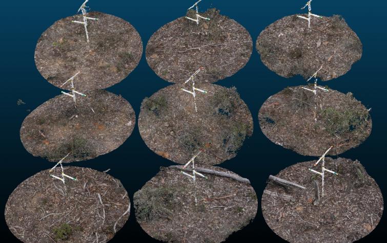
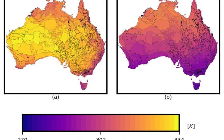
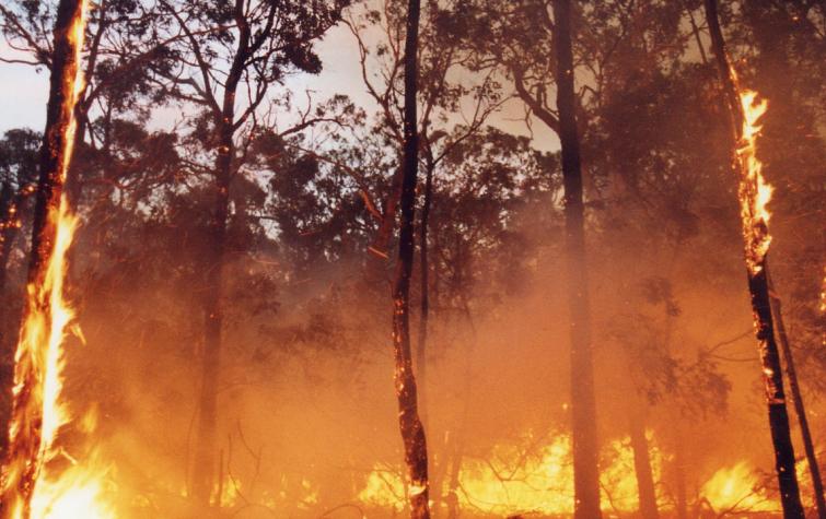
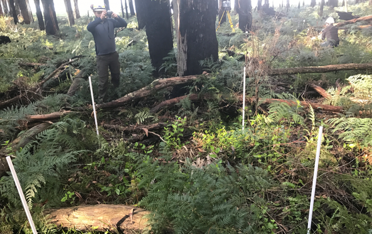
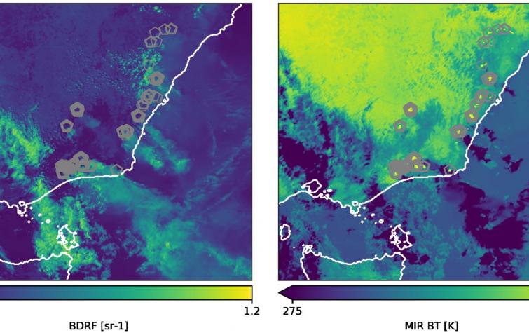
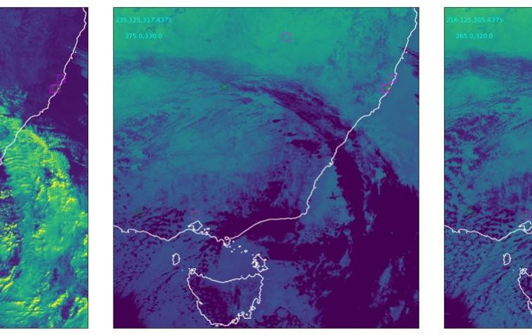
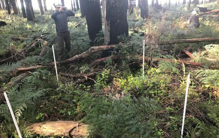
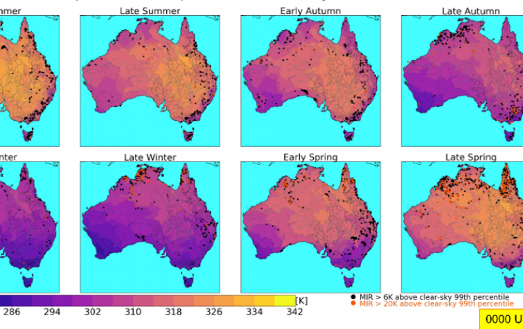
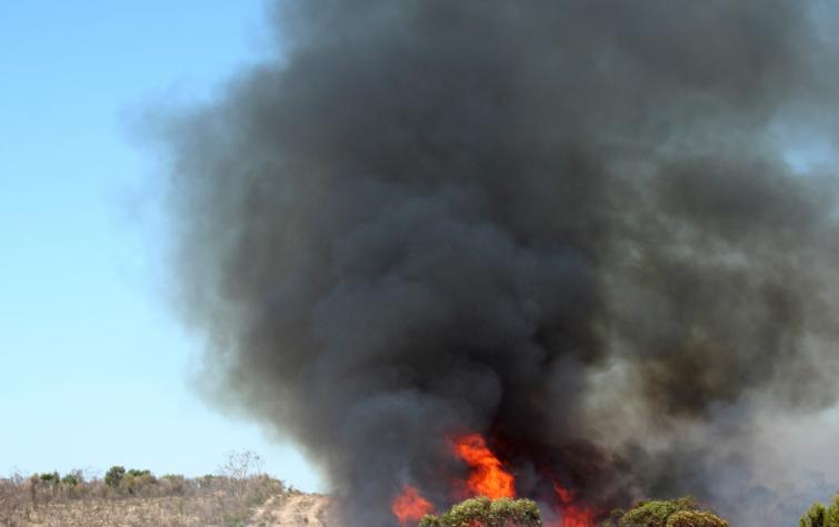
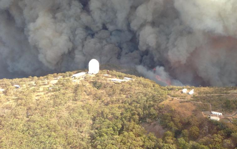
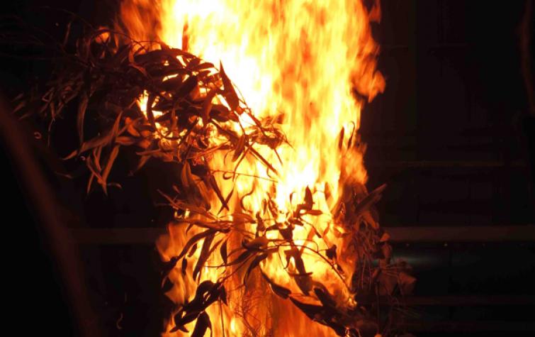
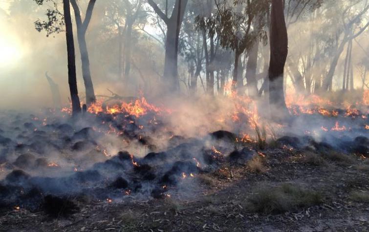
This project sought to optimise the use of earth observing systems for active fire monitoring by exploring issues of scale, accuracy and reliability, and to improve the mapping and estimation of post-fire severity and fuel change through empirical remote sensing observations. A particular focus was on the analysis of data obtained from Himawari-8, which is able to provide updated imagery on a 10 minute basis.+++++
This project is part of the Black Summer research program funded by the Commonwealth Government through the 10-year extension of funding into natural hazard research in Australia.
This project was commissioned by the Department of Environment, Land, Water and Planning, Victoria.

Research team

Disaster landscape Attribution: Attributing Active Fire Using Simulated Fire Landscapes
18 Aug 2015
Active fires are inscreasingly being identified using satellite remote sensing to determine their...
Disaster landscape attribution: Thermal anomaly and hazard mapping
25 Aug 2014
This project seeks to (1) optimize the use of earth observing systems for active fire monitoring by...

Resources credited

Type Releasedsort ascending Title Download Key Topics
Presentation-Audio-Video 18 Nov 2020 Black Summer projects - earth observations | Northern Australia Research Engagement Forum (3/9) File Save (0 bytes) indigenous communities, local knowledge, Northern Australia
Presentation-Audio-Video 07 Jul 2020 AFAC webinar: Active fire detection using the Himawari-8 satellite File Save (0 bytes) fire, fire impacts, remote sensing
Presentation-Slideshow 17 Oct 2019 Fuels3D PDF icon Save (5.15 MB) fire, fire impacts
Presentation-Slideshow 27 Aug 2019 Detecting Active Fires using Himawari-8: a report from the NSW trial PDF icon Save (2.9 MB) fire, fire impacts
Presentation-Slideshow 27 Aug 2019 Fuels3D and the assessment of bark hazard PDF icon Save (13.38 MB) fire, fire impacts
Presentation-Slideshow 07 May 2019 Fuel hazard mapping and fire surveillance PDF icon Save (1.91 MB)
Presentation-Slideshow 18 Sep 2018 Performance of fire detection algorithms using Himawari-8 PDF icon Save (5.93 MB)
Presentation-Slideshow 07 Sep 2017 Mapping the efficacy of an Australian fuel reduction burn using Fuels3D point clouds PDF icon Save (1.6 MB) fuel reduction, modelling, prescribed burning
Presentation-Slideshow 07 Sep 2017 Enhanced estimation of background temperature for fire detection using new geostationary sensors PDF icon Save (1.11 MB) fire, fire impacts, remote sensing
HazardNoteEdition 28 Nov 2016 Monitoring and predicting natural hazards PDF icon Save (853.18 KB) forecasting, modelling, severe weather
Presentation-Slideshow 24 Oct 2016 Disaster landscape attribution, active fire detection and hazard mapping PDF icon Save (1.9 MB) fire, fire impacts, remote sensing
Presentation-Slideshow 05 Dec 2014 Thermal anomaly and hazard mapping PDF icon Save (670.97 KB) fire, forecasting
Presentation-Slideshow 21 Mar 2014 Monitoring and prediction PDF icon Save (7.35 MB) flood, modelling, multi-hazard

Send a message to Prof Simon Jones (via CRC)

User Contact