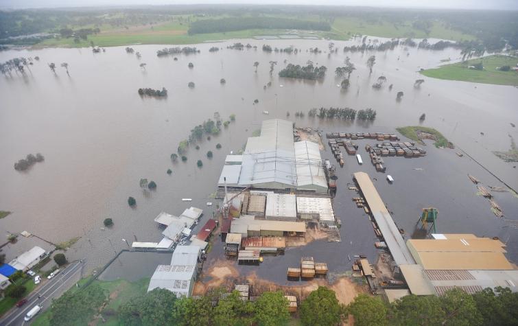
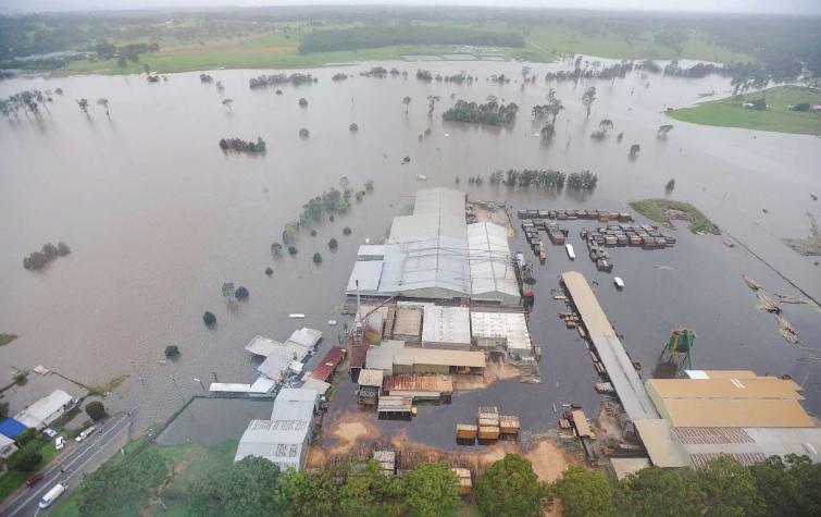
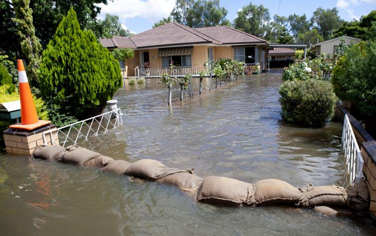
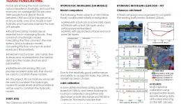
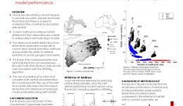
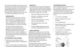
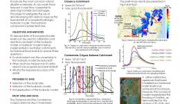
Dr Ashley Wright completed his PhD on flood forecasting in 2017. Ashley gathered historic rainfall data and developed modelling techniques to create a better understanding of rainfall in flood prone catchments. Greater understanding of the rainfall that falls on our catchments will lead to improved flood forecasting skill.
In 2018, Ashley won the Eric Laurenson Medal, which is awarded annually to a recent PhD graduate of Monash University who has written an excellent thesis, communicated their research findings to industry and has high research utilisation potential in water science, engineering or management.
"The award gives me confidence that my work is meaningful and of high quality," Ashley said.
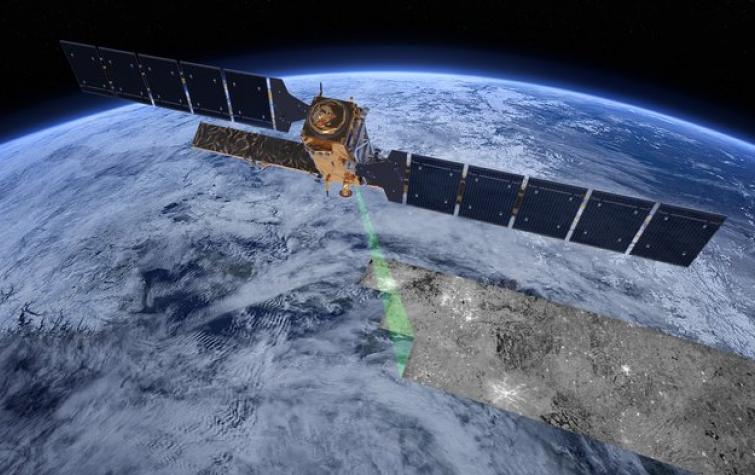
Post-PhD completion, Ashley completed flood modelling work in Indonesia and Fiji with Monash University, before joining the CRC project Improving flood forecast skill using remote sensing data as a postdoctoral research fellow. Ashley is now a senior associate in insights analytics at PwC.
His thesis is available here.
Student project
Research team
| Type | Project | Research team |
|---|---|---|
| CRC Core Project | Improving flood forecast skill using remote sensing data | jwalker, sgrimaldi, awright |
Resources credited
| Type | Released | Title | Download | Key Topics |
|---|---|---|---|---|
| Presentation-Slideshow | 27 Aug 2019 | Improving flood forecast skill using remote sensing data |
|
remote sensing |
| 31 Oct 2017 | Improving flood forecast skill using remote sensing data |
|
flood, forecasting, remote sensing | |
| HazardNoteEdition | 17 May 2017 | Remote sensing offers better forecasting of riverine floods |
|
flood, hydrology, remote sensing |
| Presentation-Slideshow | 24 Oct 2016 | Improving flood forecast skill using remote sensing data |
|
flood, forecasting, remote sensing |
| Presentation-Slideshow | 30 Aug 2016 | Improving flood forecast skill using remote sensing data - Stefania Grimaldi |
|
engineering, flood, remote sensing |
| Presentation-Slideshow | 11 Sep 2015 | Hydrologic and hydraulic modeling for riverine flood forecasting |
|
flood, forecasting |
| Presentation-Slideshow | 09 Dec 2014 | Improving flood forecasting using remote sensing data |
|
flood, forecasting |


