Research leader
Research team
End User representatives
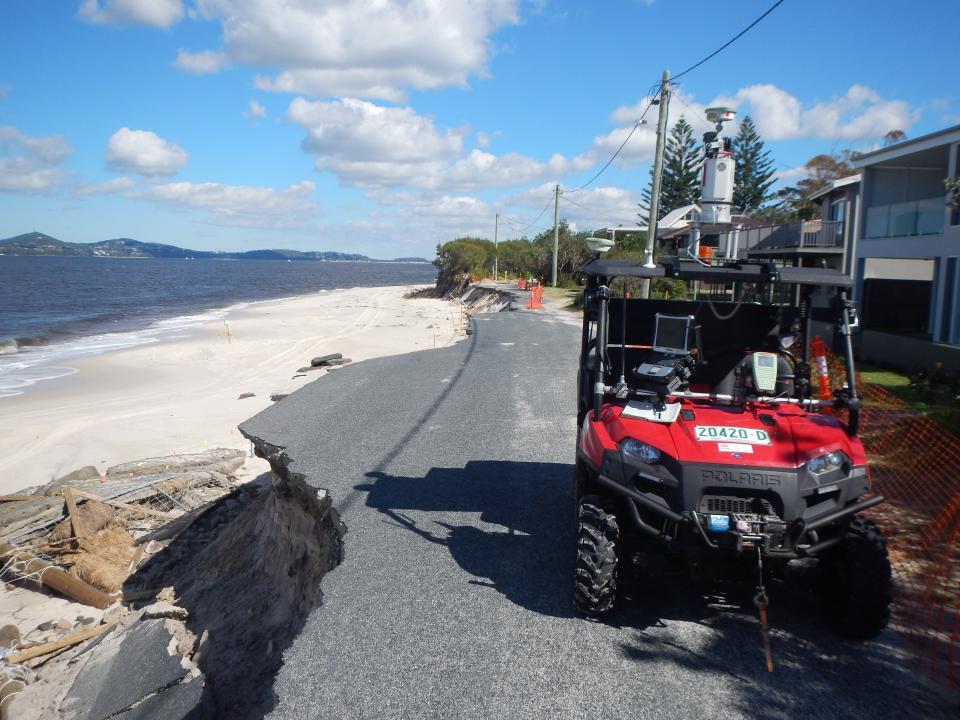
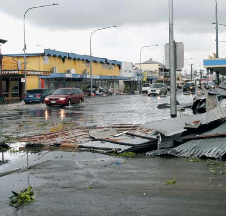
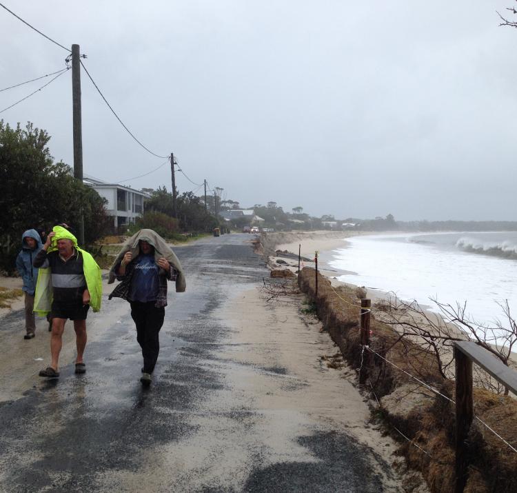
The occurrence of extreme water levels can lead to loss of life and damage to coastal infrastructure. Potential impacts and hazards of extreme water level events along our coasts are significantly increasing as populations grow and mean sea levels rise. To better prepare, coastal engineers, emergency managers and planners require accurate estimates of extreme water levels.
It is vitally important that the exceedance probabilities of extreme water levels are accurately evaluated to inform risk-based flood management, engineering and future land-use planning. This ensures the risk of catastrophic structural failures due to under-design or expense due to over-design are minimised.
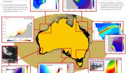
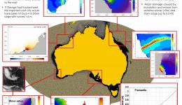
This project developed better predictions and forecasts for extreme water levels arising from storm surges, surface waves, continental shelf waves, meteorological tsunamis, mean sea level rise and the transition from tropical to extra-tropical cyclones.
Storm surges caused by tropical cyclones are well known to pose a risk. Recent technological advances allowed the team to develop a high-resolution numerical model capable of analysing ocean dynamics to better understand how storms will impact local beaches on an Australiawide scale. The advanced, high resolution 3D hydrodynamic model coupled with a wave model included the effects of waves breaking on top of storm surges caused by wind and pressure. An experiment based upon Tropical Cyclone Yasi indicated that wave setup contributed up to 35 per cent of total surge height and was 6-10 per cent of wave heights at 10 m depth. This supports the commonly applied engineering approach of applying a 10 per cent factor for waves in estimates of water levels. Another important factor included the orientation of the coastline to waves and wind. The experiments showed large variations in setup and surge over the scale of tens to hundreds of kilometres that was mostly related to the relative intensity and direction at which Cyclone Yasi impacted the coast. The results suggest that coupling a wave and surge improves the accuracy of storm surge predictions and provides a useful tool to determine areas of the Australian coastline are more susceptible to flooding and erosion from extreme waves.
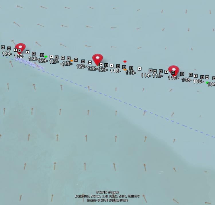
However, a lesser-known effect of landfalling cyclones is the generation of coastally trapped waves that can propagate along the coast and influence water levels thousands of kilometres away. Examples of such waves include continental shelf waves that travel to the left along the coastline in the southern hemisphere and are common along the Australian coastline. Numerical modelling by the team has demonstrated how particular cyclone properties influence the generation of continental shelf waves and through this improves the ability to predict the influence of continental shelf waves on extreme water levels along the coast.
Meteotsunamis are generated by meteorological events, particularly moving pressure disturbances due to squalls, thunderstorms, frontal passages and atmospheric gravity waves. Relatively small initial sea-level perturbations, of the order of a few centimetres, can increase significantly to create destructive events through the superposition of different factors. In August 2014, a meteotsunami propagating along the mouth of the Swan River in Fremantle resulted in a ship breaking its moorings and impacting on a rail bridge. The team has made significant impact in understanding the mechanisms underlying the development of meteotsunamis and their potential threat.
As tropical cyclones move toward the poles they can interact with the surrounding environment causing the tropical cyclone to lose tropical characteristics and become more extra-tropical in nature – this is known as extra-tropical transition. Storms that undergo extra-tropical transition pose a serious threat by extending tropical cyclone–like conditions over a larger area and to latitudes that do not typically experience such storms. Findings show that in Australia the south west of Western Australia is the area most at risk from extra-tropical transitions of cyclones, late in the cyclone season, when intense cyclones are most likely to interact with approaching cold fronts.
The data generated by the project will be made available via web interfaces with the possibility to develop the data into a spatial interface. Access to this information will support state and local government planning departments, the Bureau of Meteorology’s severe weather warnings and forecasts, and state and federal government emergency management planning, coordination and response activities. Read the final data report here.

