Student researcher
Spatial land use models are an important component of decision support systems used for disaster mitigation planning. In order to identify the best mitigation options accurately, calibration of these models is vital. However, this is still mainly a manual process and hence very labour and knowledge intensive. Early attempts have been made to automate the calibration procedure, but none have resulted in satisfactory results.
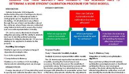
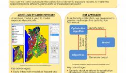
This project aimed to find an appropriate automated calibration procedure for cellular automata (CA)based land use models with the Metronamica modelling framework (www.metronamica.nl) as an example. In doing so, the following issues were addressed:
- finding appropriate metrics to evaluate calibration performance
- finding optimisation algorithms able to deal with the wide variety of parameters (suitability, zoning, accessibility and interaction rules) and limitations in the data (often there are only land use maps available for a few points in time and accuracy of land use maps is often an issue) and ensuring that the final parameter values are realistic.
The research was carried out in an international project team with researchers and industry partners. The PhD is part of the Decision support system for assessment of policy & planning investment options for optimal natural hazard mitigation project, which will enable the work to be applied to real case studies.


