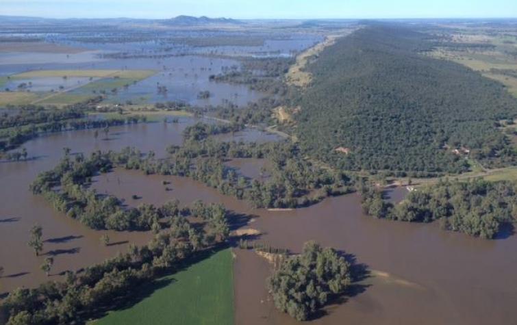
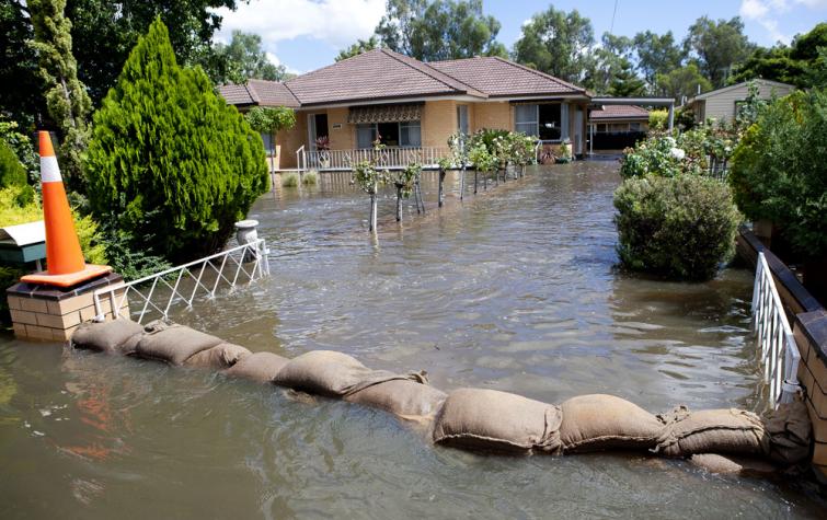
With the growing volume of hydrological data available through satellite remote sensing and crowd-sourcing to improve flood forecasting skill, more advanced techniques are needed. Dr Antara Dasgupta’s research integrated remote sensing derived water levels with a 2D hydrodynamic model using data assimilation for flooding in both Australia and India. The water levels were calculated by combining flood maps derived from optical and synthetic-aperture radar imagery with topography, and additionally from crowd sourced images. The effect of the inclusion of crowd-sourced information on the modelling was also be evaluated.
Antara is currently a postdoctoral research associate at the University of Osnabrück in Germany.
Student project
Resources credited
| Type | Released | Title | Download | Key Topics |
|---|---|---|---|---|
| Presentation-Slideshow | 24 Oct 2016 | Improving flood forecast skill using remote sensing data |
|
flood, forecasting, remote sensing |


