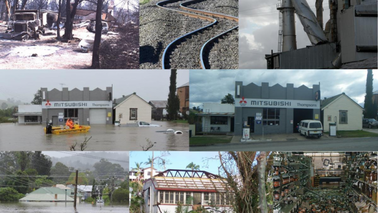
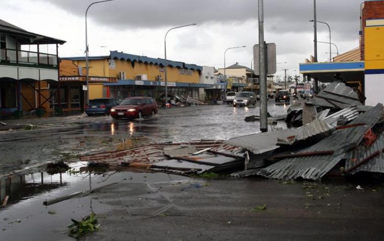
The scale of the impacts of storms, cyclones, earthquakes and floods upon our houses, buildings, roads, bridges and other infrastructure is directly related to earlier decisions made to mitigate against potential disasters.
The Bushfire and Natural Hazards CRC has improved the way that vulnerability of buildings and key infrastructure is factored into planning decisions for communities at risk across a range of hazards.
The projects within the Infrastructure and Impact theme focused on high-risk components of the built environment and looked at how new construction can be undertaken as a risk reduction strategy for some hazards.
The outcomes of these projects have strengthened our understanding of how risk can be mitigated through interventions that will reduce damage, injury, community disruption and the future cost of natural hazards.
These outcomes are evident in the Coastal Erosion Story Map, Australian Exposure Information Platform, household resilience programs for cyclone and severe winds, and many other resources that are now in use.
Online tools
These online tools were developed with CRC research and are designed to be ready for use. The tools here have been curated for this Driving Change theme. See more tools in the other themes.
AUSTRALIAN EXPOSURE INFORMATION PLATFORM
Understanding what is exposed during hazard events is a highly valuable starting point for a variety of sectors. Using CRC research, the Australian Exposure Information Platform quickly and easily allows users to generate exposure reports needed for decision making before, during and after hazard events.
The customised reports provide a detailed statistical summary of the number of people, dwellings, structures, businesses, and agricultural and environmental assets in any specified area across Australia.
The Australian Exposure Information Platform was a key source of information during the 2019/20 bushfire season and is used regularly by more than 50 organisations across government, industry and emergency sectors to produce thousands of reports each month.
DYNAMIC EXPOSURE DASHBOARD
Expanding on the AEIP, the Dynamic Exposure Dashboard gives decision makers the ability to interact dynamically with nationally consistent exposure information for known areas at any time of the day, without waiting for exposure reports.
The Dashboard was created in response to users’ needs to view what is exposed quickly and easily, not only where an event is unfolding, but in areas adjacent to the event.
The Dashboard is currently undergoing maintenance and will available again shortly.
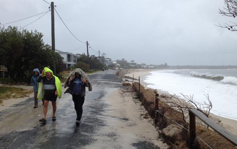
COASTAL EROSION STORY MAP
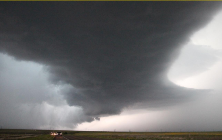
This Story Map sets out the key steps required to understand coastal erosion in situations where storm clusters are recognised as a possible driver.
The Map begins by providing some background to understanding the context of an eroding shoreline. It uses synthetic storm clusters to drive beach erosion and presents two case studies that model beach response to these synthetic clusters for current sea level conditions. Finally, the Map explores a method for evaluating impact of coastal erosion on infrastructure assets.
Scroll through interactive text, imagery and maps to learn more about understanding the cause, response and impact of coastal erosion.
WEATHER THE STORM WEBSITE
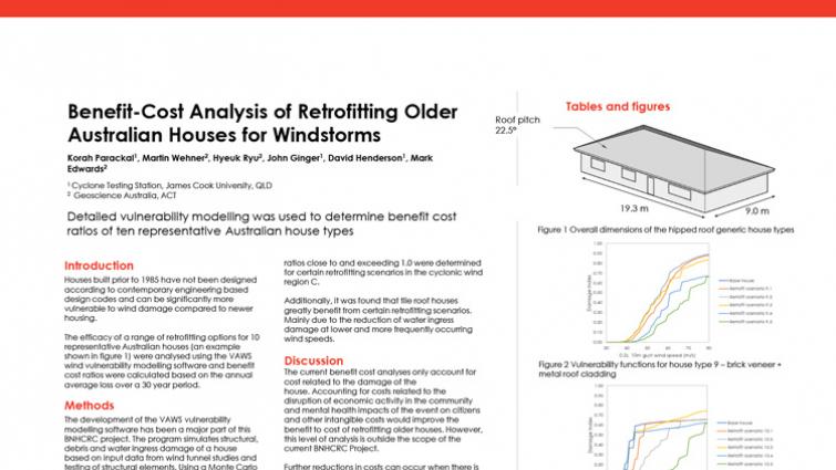
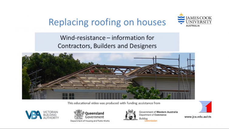
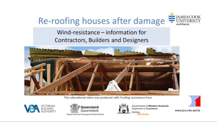
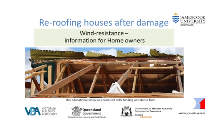
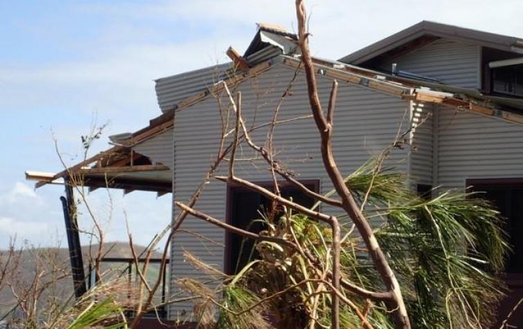
Researchers at James Cook University’s (JCU) Cyclone Testing Station, in partnership with Geoscience Australia and the Bushfire and Natural Hazards CRC, have developed a new website called Weather the Storm to inform builders and homeowners about how to improve an existing home’s key structural connections against extreme wind.
Accessible at www.weatherthestorm.com.au, the website is based on CRC research that explored the ways that different types of maintenance and retrofitting can protect an older house from damage at different wind speeds, and devised practical and economic options for upgrading existing houses. The findings of this research formed a set of guidelines, which were built into the new Weather the Storm website.
Case studies
CRC research is driving change across communities, government and emergency service agencies, as highlighted by the case studies relevant to each Driving Change theme.
Highlights
This collection is a curation of the best and most recent news articles, Hazard Notes, videos, posters, guides, journal articles and reports relevant to this theme.
News

 for December 2019 to March 2020.")


 and Korah Parackal (right) using the facilities at James Cook University to conduct their research. Photo: JCU Media.")


")


Resources


Publications


Projects
This selection of user-driven projects allows you to explore the detail of the research. These projects, spanning the eight years of the CRC, are especially relevant to this theme, but may appear within other themes as well.