Student researcher
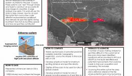
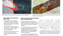
This research analysed operational line scan mapping produced by the NSW Rural Fire Service and Victorian Department of Environment, Land, Water and Planning to understand spot fire behaviour, including distance from main fire front, number of spot fires, their size and their growth. Extreme bushfire behaviour predictions are based on a limited number of observations. This PhD provides important tools to improve the understanding of spot fire and ember behaviour in dry forests of south east Australia, complementing and improving existing fire behaviour models.
This project was submitted in February 2021.
| Year | Type | Citation |
|---|---|---|
| 2021 | Journal Article | Derivation of a Bayesian fire spread model using large-scale wildfire observations. Environmental Modelling & Software (2021). doi:https://doi.org/10.1016/j.envsoft.2021.105127 |
| 2021 | Journal Article | Experiments on the influence of spot fire and topography interaction on fire rate of spread. PLOS ONE 16, (2021). |
| 2020 | Journal Article | Analysis of Variation in Distance, Number, and Distribution of Spotting in Southeast Australian Wildfires. Fire 3, (2020). |
| 2020 | Journal Article | Drivers of long-distance spotting during wildfires in south-eastern Australia. International Journal of Wildland Fire (2020). doi:https://doi.org/10.1071/WF19124 |
| 2016 | Journal Article | The role of weather, past fire and topography in crown fire occurrence in eastern Australia. International Journal of Wildland Fire 25, (2016). |


