Research leader
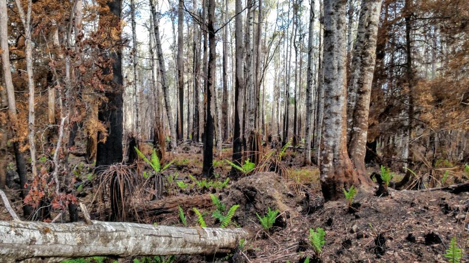
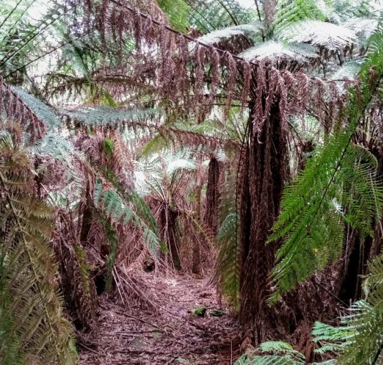
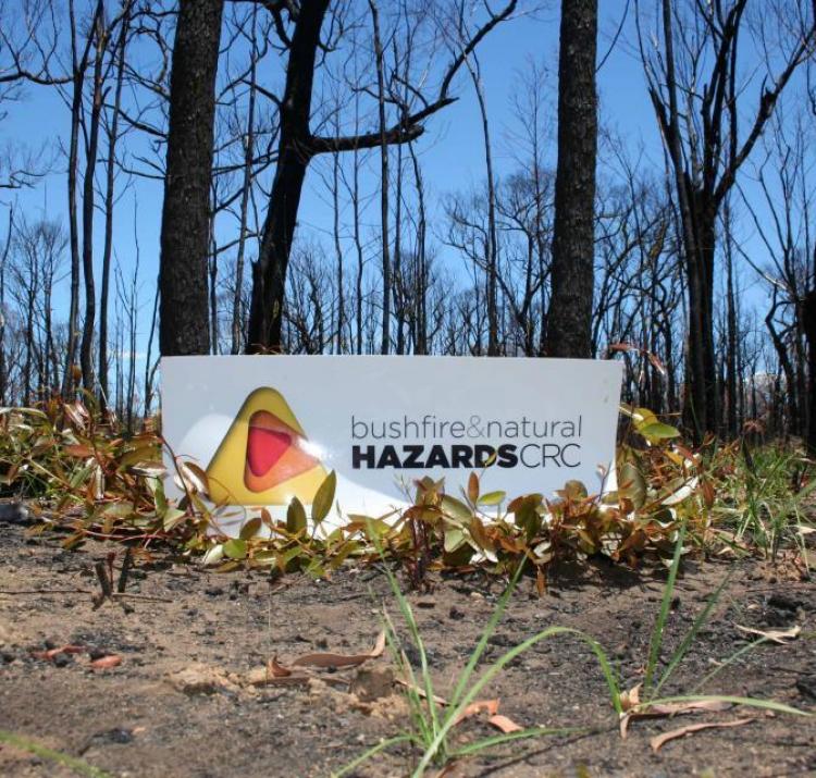
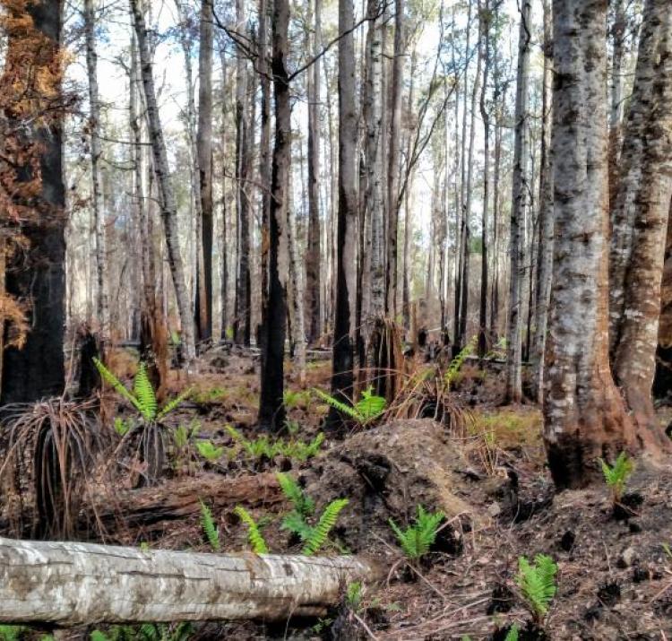
In January 2019 the Riveaux Road wildfire burned over 63,000 hectares in southern Tasmania, including 12 permanent fuel monitoring plots in a range of Tasmanian Tall Wet Eucalypt forests that stand across south east Tasmania. Tasmanian Tall Wet Eucalypt forests are the most complex and poorly-documented forest ecosystem in Australia. Their combination of a highly-flammable eucalypt overstorey and a less-flammable understorey makes them unique worldwide. However, due to the contrasting flammabilities of their vegetation, fire behaviour is poorly understood in these forests. Existing fire behaviour models are especially poorly-suited for predicting fire behaviour through the moist, non-eucalypt understorey. While little data exists on fire behaviour in these forests, observations and modelling suggest they have the potential to exhibit extreme fire behaviour.
This project was completed with the support of the CRC's funding for quick response. It investigated the effects of fire at these 12 permanent plots that burned in the 2019 Tasmanian fires by comparing the predicted and actual fire severity.
Researchers:
- remeasured fuel loads and vegetation using a similar methodology to the original fuel surveys performed on these plots, and a similar post-fire re-measurement performed in 2016
- collected all dead and live fuels on the forest floor using 1m2 quadrats and calculated a tonnes per hectare estimate of surface and near-surface fuels
- measured live and dead standing fuels in the elevated layer along the transect and used allometric equations to estimate the understorey fuel load in tonnes per hectare
- measured the burnt-tip diameter of the shrubs along the transect, as this is a correlate for fire intensity, and scorched and charred heights of all trees within 10-15m of the transect, as this is a correlate for flame height
By measuring more well-established indicators of fire-severity (such as burnt-shrub tip diameter and percent overstorey mortality) the researchers confirmed that the approach of comparing flame height to canopy height is a good indicator of general fire severity and by measuring post-fire fuel loads they can directly quantify reductions of fire hazard associated with low-moderate severity wildfires, which is a dynamic that is poorly understood.
| Year | Type | Citation |
|---|---|---|
| 2021 | Journal Article | Bioclimatic drivers of fire severity across the Australian geographical range of giant Eucalyptus forests. Journal of Ecology (2021). doi:https://doi.org/10.1111/1365-2745.13663 |
| 2021 | Report | Understanding post-fire fuel dynamics using burnt permanent forest plots. (Bushfire and Natural Hazards CRC, 2021). |
| 2020 | Report | Using pre- and post-fire LiDAR to assess the severity of the 2019 Tasmanian bushfires: field survey methods. (Bushfire and Natural Hazards CRC, 2020). |
| 2020 | Report | Understanding post-fire fuel dynamics using burnt permanent forest plots. (Bushfire and Natural Hazards CRC, 2020). |

