Related
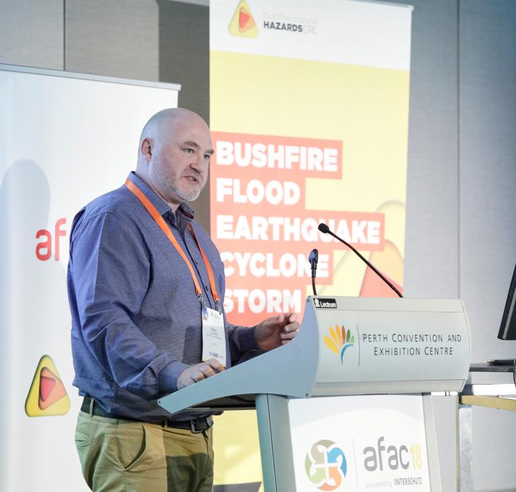
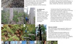
This Project will identify and explore in-depth the DRE practices being applied by classroom teachers, the contribution of NSW RFS experts to the classroom, and what DRE learning outcomes can be attributed to those NSW RFS experts
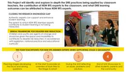
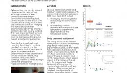
Something like 8,000 years ago, Tasmania separated from mainland Australia. Species that occupied the same geographic range began a process of speciation. An example is Eucalyptus delegatensis subsp. tasmaniensis (EDST), which diverged from the mainland Eucalyptus delegatensis subsp. delegatensis, endemic to the Victorian Alps.
The importance of school-based Disaster Risk Reduction and Resilience Education (DRRRE) has been emphasised in the UNISDR Sendai Framework and the Australian National Strategy for Disaster Resilience. In recent years, DRRRE has also been added to the National Curriculum. Yet, the scaled implementation of effective DRRRE in schools remains a significant challenge.
Natural hazard response efforts are increasingly reliant on broadcast warnings by agencies. While these warning systems are constantly improved through adoption of research findings and use of emerging platforms such as social media, improvements in community preparedness appear slow. One way to improve uptake of DRR messages might be to tap into influential trust relationships that already exist in communities.
Dynamic modes of fire propagation present a significant challenge for operational fire spread simulation. Indeed, current operational fire simulation platforms are not generally able to account for such behaviours. Here we demonstrate a two-dimensional modelling approach that is able to accurately simulate vorticity-driven wildfire propagation well within operational time frames.
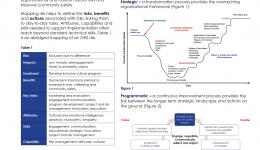
Although diversity and inclusion (D&I) risks have always been present, they have not been registered and managed as core operational risks by emergency management organisations (EMOs).
In order to change a culture you must first understand it. Lessons for for community engagement from the 'anthropologising’ of Aboriginal Australia.
In extreme cases, embers transported in a bushfire plume have started new fires over thirty kilometres away. Even in less extreme situations, new ignitions a kilometre away can complicate fire management and threaten safety. The ability to forecast spotting due to ember transport in fire plumes would assist fire management and improve fire models.
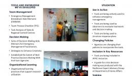
In this project we’ve developed a number of tools that can help people to better manage teams, make enhanced decisions and learn lessons more effectively. These tools have seen strong utilisation across the sector
Effectively managing the risks of fire to ecosystem resilience and threatened species is a commitment of Victoria’s Safer Together policy. Through collaboration with DELWP, and its partner agencies, the project team have developed a decision-making framework, including a Fire Analysis Model for Ecological values (FAME), to facilitate more effective and transparent consideration of ecological values in fire management decisions
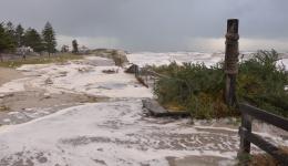
Navigating Uncertainty 2013 Forcett Tasmania bushfire disaster
Quality leadership is essential to retain volunteers and ensure the future sustainability of Australia’s Volunteer Emergency Services sector. Effective leadership education and training programs are needed to equip leaders with the skills and knowledge to inspire, retain and engage volunteers.
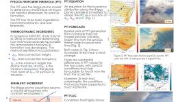
Pyrocumulonimbus (fire-induced thunderstorms, pyroCb) are associated with unpredictable changes in fire intensity, spread rates and direction, enhanced ember transport and lightning ignitions. Conventional thunderstorm threats such as downbursts, hail, lightning, tornadoes
may also be present. PyroCb are difficult to forecast.
To develop a pilot capability for making useful predictions of community impacts of extreme wind & rain to improve timely mitigating actions by a range of stakeholders.
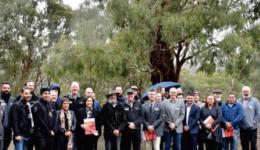
We are investigating the existing and emerging engagements between the natural hazards sector and diverse Aboriginal peoples across southern Australia (2017-2020).
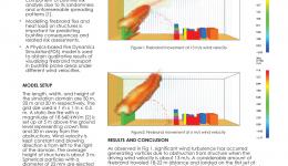
Is it feasible to model firebrand load on structure using a physics-based model in WUI?
The research aims to provide a better understanding of the primary motives for formal volunteering in Australian emergency services, and the broader contemporary influences on such important civic participation
Vulnerability and Adaptation to Wind Simulation (VAWS) is a software package that can be used to model the vulnerability of small buildings such as houses and industrial sheds to severe wind events. The primary aim of VAWS is the examination of the change in vulnerability afforded by mitigation measures to upgrade a building’s resilience to wind hazard.
Disasters significantly impact the welfare of communities and the patient demographic of disaster-affected individuals is shifting from those with acute injuries to exacerbations of chronic diseases. Disaster health management needs to provide an interprofessional approach to addressing the health and welfare of those adversely affected in a disaster. Pharmacists are the most widelydistributed healthcare provider in the community and are often on the coal-face of providing continuity of medication care in disasters.
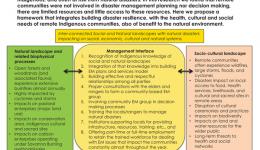
North Australia is at risk from bushfires, cyclones, storms and floods. In 2016-17 the average cost of major natural hazards was $11 billion for a region of ~ 1 million people. Emergency management resources are concentrated in the larger centres from Broome through Darwin to Townsville. Over 90% of people outside the larger population centres are Indigenous, and often at risk from natural disasters. In this research we found that remote communities were not involved in disaster management planning nor decision making, there are limited resources and little access to these resources.
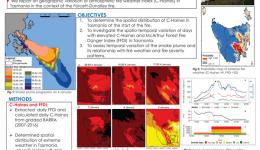
January 2013 fire season was among the most significant seasons in Tasmanian history.
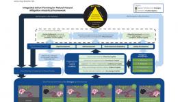
Urban Planning systems have considerable potential: to modify the impacts of natural hazards upon the built environment, humans and associated systems; and to contribute to resilience processes and outcomes. However, the full integration of planning systems with emergency management is still far from reaching its potential. The analytical framework presented here aims to support the identification of opportunities for Urban Planning to contribute to reducing disaster risk.
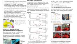
This project investigates the use of remotely sensed soil moisture and inundation extent to improve the accuracy of operational flood forecast.
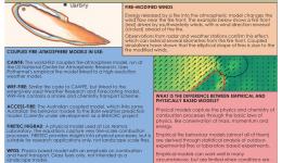
Coupled models are a class of fire prediction models that combine fire and atmospheric components. The objective is to resolve how the energy released by a fire modifies the surrounding atmosphere and how the feedbacks manifest on fire behaviour. Fire-atmosphere interactions can be particularly dramatic and hazardous at large, intense fires burning in complex terrain within unstable atmospheric conditions.
What are the key changes in urban planning regulations that have been introduced over time in Victoria, seeking to minimize the impacts of bushfires upon settlements?
Map preparedness community engagement approaches by Australian agencies and organisations
The Australian Fire Danger Rating System Program is building a new fire danger rating system.
We explore the effects of a small bushfire on the income trajectory of employed residents of Toodyay, a regional town in Western Australia. Our study reveals how detailed profiling, using public data, can overcome statistical limitations in disaster risk reduction exercises and better direct post-recovery interventions to minimise disruptions to important income streams in small regional towns.
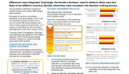
we examined the effects of a climate of inclusiveness on volunteer retention. A survey of 512 emergency services volunteers revealed that an inclusive climate played a vital role for volunteer retention as it allowed volunteers to connect with each other and it gave them freedom to express themselves professionally. To a limited extent, female volunteers perceived lower levels of a climate of inclusion. However, in inclusive climates, women felt more connected with their teammates when their differences were integrated.
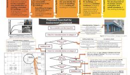
Reinforced concrete buildings are common in Australia and have been commonly designed with little to no ductility. This poster presents a methodology to assess the potential vulnerability of buildings in seismic conditions and the need of retrofitting
The project is seeking to assist floodplain managers who do not have access to detailed building exposure information for their communities of interest and may need to estimate damage from flood events (real or simulated).
TWO DRIVING PRINCIPLES
Prevention is better than cure - “Better to build a fence at the top of a cliff, than park an ambulance at the bottom” Helen Clark 2015 Sendai
Tomorrow’s risk is built today - “Tomorrow’s risk is being built today. We must therefore move away from risk assessments that show risk at a single point in the present and move instead towards risk assessments that can guide decision makers towards a resilient future.”
Global Facility for Disaster Reduction and Recovery (2016)
Although schools have an emergency management plan for bushfire to keep students, staff and the broader school community safe, are these plans effective during a bushfire event?
Recent high-profile building fires involving combustible external cladding in Australia as well as Dubai, China and the United Kingdom have created a heightened awareness by the public, government and commercial identities to act on the risks associated with the noncompliance
building structures
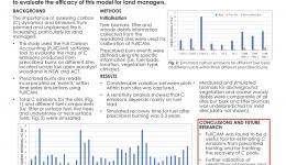
The Full Carbon Accounting Model (FullCAM) is a software tool developed by the Australian Government, Department of the Environment and Energy, as a standardised method for carbon accounting. We made use of site specific data and the customizable procedure in FullCAM to
simulate the effects of prescribed burn events in eucalypt woodlands in south eastern Australia to evaluate the efficacy of this model for land managers.
In the context of dynamic environmental and demographic changes, one-directional, fragmented disaster management approaches are ineffective in delivering built-environment resilience across the temporal (from long-term to short term) and spatial (from macro to micro) scales.
This study aims to conduct rigorously designed research on disaster resilience education for children involving children’s active input and participation with particular focus on child-centred disaster risk reduction (CC-DRR) approach.
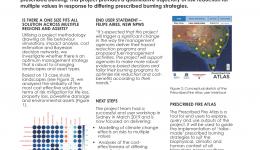
Rising public and professional expectations require a greater, more transparent understanding of the trade-offs involved in the management of landscape fire and prescribed burning. This project provides a quantitative trajectory of risk reduction for multiple values in response to differing prescribed burning strategies
Australian floodway design guidelines exclusively consider hydraulic principles. Comprehensive analysis of floodway failure mechanisms has exposed deficiencies demanding the need to investigate the structural adequacy of floodways to enhance resilience during extreme flood
events.
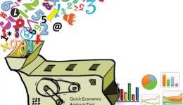
When there is not enough information or time available to conduct indepth analyses of trade-offs between different mitigation options for natural hazards, a quick economic analysis can be very helpful to decision makers.
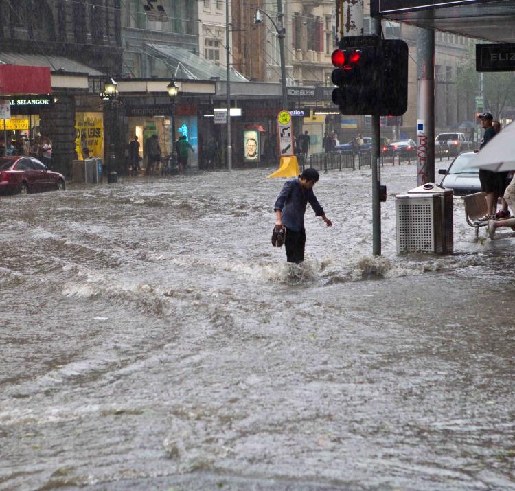
Just under half of all flood-related fatalities in Australia (45%) are attributed to people entering floodwater in motor vehicles
Aim Large-fire suppression is poorly understood even though large bushfires (over 500ha) account for a disproportionate amount of both hectares burned and suppression expenditure. Resource use extends beyond what has been established in the literature. The aim of this study was to classify suppression using the fire management agencies language and operational protocols as a guide, to answer a deceptively simple question: ‘How are suppression resources being used on large wildfires?’
The connection between disaster planning, capability and capacity are essential, but often overlooked. In collaboration with end-users (Emergency Management Victoria and Home Affairs), the research team has developed a capability maturity assessment tool, designed for use by jurisdictions and organisations to assess the current maturity of their capabilities utilising a series of criteria. The tool is Excel-based and easy to tailor to specific contexts. Functions to support summary reporting have been incorporated.
Australian communities face increasing losses and disruption from natural disasters. Disaster resilience is a protective system that arises from the capacities of social, economic and institutional systems to absorb the shocks of natural hazard events, and to learn, adapt and transform in anticipation of an uncertain future. The Australian Natural Disaster Resilience Index was used to profile the distribution of disaster resilience at a national level.
Tall Wet Eucalypt Forests (TWEF) are one of the world’s most complex and unique forest types. A combination of eucalypts in the canopy, and rainforest and sclerophyllous vegetation in the understorey, results in a complex flammability profile. Hence fire behaviour in TWEF is poorly understood. This project seeks to characterise the fuels and fire regimes in Tasmanian TWEF and develop a conceptual framework for modelling fire behaviour in these forests.
Natural hazards provoke considerable uncertainty but community members often ‘under-react’ when confronted with messages warning them of imminent hazards. How well do current emergency warning messages encourage community members’ readiness to act on emergency instructions?
‘Stuck in the middle with you’: Lessons learned from convening a shared learning network as an academic
A broken door or window during a windstorm allows wind to enter the building and push on the roof and walls, increasing the load on the structure. This project is improving existing techniques which characterize these loads by analyzing internal pressures measured in a wind tunnel model and Full-Scale buildings with different types of openings, volumes, porosity etc. The results are incorporated into a central model which can predict internal pressures with more accuracy than ever before.
How significant is the effect of topographical feature (slope) of terrain on grassland fire behaviour?
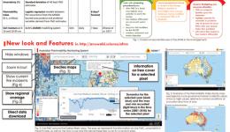
The AFMS is available to anyone, including fire and land managers and other industries such as insurance and agricultural sectors and electricity and water suppliers. Individual community members such as farmers could also use the AFMS to assess how dry their property is when preparing for fire season
What is the prevalence of post-traumatic stress disorder (PTSD), depression, anxiety and alcohol abuse disorders (AUD) in career and volunteer firefighters, and what individual, operational and organisational factors contributed to and protected from their development?
Several models have been used for dead fuel moisture content (FMC) forecasting. However, none of these models explicitly consider how soil moisture affects FMC. This project aims to evaluate the role of soil moisture in determining FMC and improve the forecast of FMC by coupling litter and soil moisture dynamics. The Australian Water Resources Assessment system Landscape model (AWRA-L) (Van Dijk, 2010; Frost et al., 2016) and the physical-based litter prediction model (Koba) (Matthews, 2006) are used for the coupling.
The project will be assessing the relationship that people have with natural hazards in their region by conducting a range of risk perception surveys
People respond to bushfires in different and complex ways according to their circumstances and characteristics. A range of factors influence decision-making including prior intention and planning, threat perception, self-reliance, previous experience of bushfire, perceptions of the best protective action and perceptions of other stakeholders including neighbours and emergency services. Seven bushfire self-evacuation archetypes displaying universally recognisable, fundamentally human characteristics have been reported by Strahan (2018).
Is the capacity of high-strength reinforced concrete columns in Australian infrastructure adequate for collapse prevention in a rare or very rare earthquake event?

