Related
This project evaluates the tangible and intagible costs and benefits of natural hazards and mitigation options to help decision makers prioritise investments
Emergency responders (ERS) have identified horse owners and horses as a priority in animal emergency management.
Statistical analyses show the considerable impacts of flood risk compared to other types of natural hazards
Australian emergency services face a range of contemporary challenges, including the ongoing availability and effective utilization of a skilled volunteer workforce
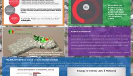
This project is investigating, at the national level, the economic impact of natural disasters on sectoral growth of the Australian economy.
This study is developing best practice methods for preparedness and response practices in a bushfire, with the aim of enhancing community well-being and safety.
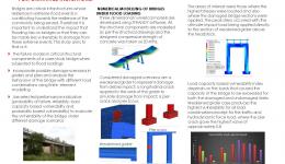
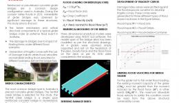
It is important to assess the vulnerability of bridges in an extreme flood event as these critical infrastructures contribute to the resilience of the community during and in the recovery stage of the event.
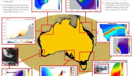
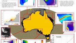
This project is developing better predictions and forecasts for extreme water levels arising from storm surges, surface waves, continental shelf waves, meteorological tsunamis, mean sea level rise and the transition from tropical to extra-tropical cyclones.
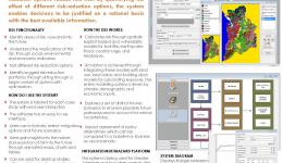
We have developed a decision support system with potential to transform planning for risk reduction in Australia.
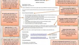
Testing the elements of optimal emergency warnings: Some insights from 10 focus groups and 77 experiments of 3615 Australians
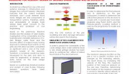
The research is focused on the assessment of the vulnerability of a concrete u-slab bridge as a bridge type widely used in australia and simulation of the structure exposed to the different flood intensities and its consequent log impact.
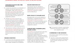
The design and evaluation of long-term coastal adaptation policies takes place under conditions of uncertainty
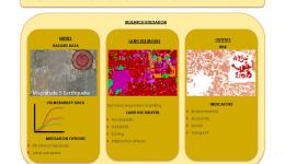
Developing hazard mitigation strategies through more efficient dynamic assessment of exposure by making the calibration of land use models automatic.
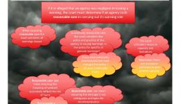
Emergency service agencies question whether legal implications can arise when using social media as a channel for warning.
Focus of this research is to assess the performance of existing composite steel girder bridges to most rational bushfire (bf) and hydrocarbon (hc) fire events.
This project will produce probabilistic assessments of coastal erosion and inundation risks associated with storm surge, particularly for events that are clustered in time
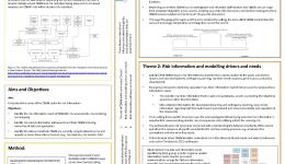
Risk is a complex combination of hazards, exposure and vulnerability.
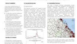
There is a significant need to perform adequate assessment of the vulnerability of bridges and bridge networks prior to future flood events in Australia.
Live fuel moisture content (LFMC) is one of the primary variables affecting bushfire flammability.
The project has moved its focus from spatial mapping towards insitutional mapping to support strategic decision making surrounding prevention, preparedness, recovery and resilience using a multi-value approach.
This project has three main research streams that are:
•Providing enhanced methods of making decisions;
•Developing methods to better monitor and modify the behavior of teams
•Identifying the enablers and barriers to organizational learning
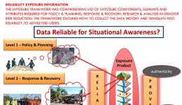
This project will identify the data requirements and modelling framework to derive exposure information to enable a better understanding of the vulnerability of people, buildings and infrastructure.
This project is measuring and gaining a greater understanding of the impacts of natural hazards in terms of the toll of human life, injuries and building damage in order to provide an evidence base for emergency management policy and practice.
How does operating on-call from home impact sleep, even when no call occurs?
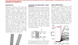
This poster introduces a rapid seismic assessment method for reinforced concrete buildings in regions of low to moderate seismicity such as Australia.
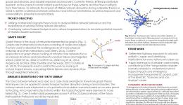
Can graph theory techniques help with emergency response and optimal lifeline network recovery?
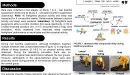
These various projects are looking at firefighter health and safety, particularly looking at the effects of sleep and stress on operationaly readiness.
Poor performance has been exhibited by lightly reinforced concrete walls in past earthquake events, including single-crack failures from a large concentration of plasticity occurring over a short height at the wall base.
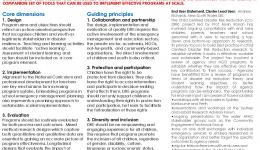
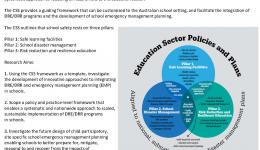
The national strategy for disaster resilience recognises disaster resilience education (DRE) as a priority.
The aim of this research was to examine the relationship between firefighters’ sleep, physical activity, and physical task performance during real and simulated bushfire suppression.
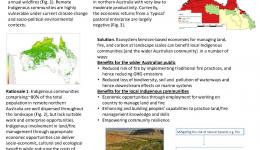
The project applies ecological-economic methods to help build the resilience and sustainability of remote Indigenous communities across northern Australia.
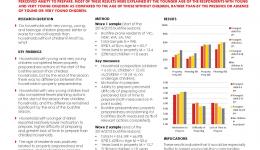
Children form a vulnerable demographic in both the response and recovery phases of natural disasters
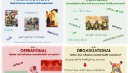
This study will improve our knowledge of the prevalence of mental health disorders amongst Australian volunteer and career firefighters, as well as our understanding of the range of factors contributing to better and worse mental health outcomes.
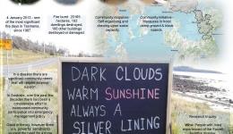
This project is about what went right –a disaster where the whole community responded in exactly the right way, at the right time saving tens of thousands of lives.
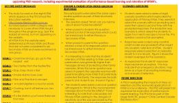
This study investigated the retention of Key Fire Safety Messages (KFSM) by students and their parents following exposure to the Tasmania Fire Service’s school fire education program.
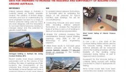
Many of us live in homes with vulnerabilities that contribute to community wind risk.
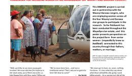
Waanyi-Garawa rangers in the remote south-west gulf of carpentaria have long awaited inclusion of women in their highly successful fire abatement program.
Internal pressures can contribute to a large portion of the net wind load on a building.
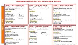
The Australian natural disaster resilience index (ANDRI) will assess the state of disaster resilience in Australia.
Community resilience is dependent on more than just engineering and preperation
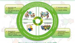
Child-centred disaster risk reduction (CC-DRR) is a flexible, rights-based, innovative approach to disaster risk reduction (DRR) combining child-focused (for the children) and child-led (by the children) activities involving children, families, communities, non governmental organisations, emergency management agencies and governments (UNICEF, 2014; PLANUK, 2010; Save the Children, 2007).
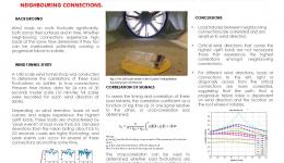
Peak wind loads on batten to truss connections on a typical gable roof house were examined using a 1/50 scale wind tunnel study.
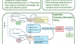
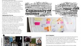
Citizen participation is a key principle of disaster risk reduction and resilience building.
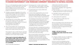
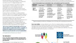
Disaster resilience policy is being implemented via a range of programs and activities across Australia.
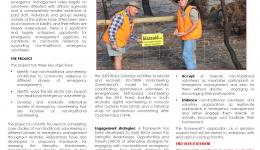
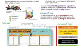
Can children be agents of change through school-based education?
The study of historical occurrences of natural disasters only provides a very limited view of the full range of risk Australia is exposed to.
Involving communities is a prerequisite to sustainable disaster risk reduction.
Flooding is Australia's most expensive natural hazards
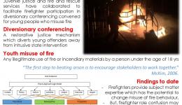
(How) do interagency agreements between juvenile justice and fire and rescue services facilitate youth misuse of fire prevention?
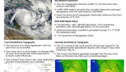
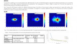
This study utilises the advanced research version of the weather research and forecasting (WRF-ARW) model to investigate topographic influences on track and intensity of tropical cyclone ita (2014).
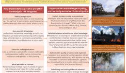
Two case studies from the north and south Australia examine how science is being used to change how we anticiate and mitigate natural hazards illustraate some common opportunities and challenges
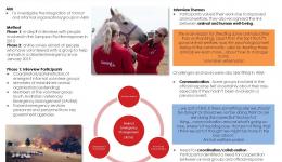
This project is leveraging current initiatives, programs and research on prevention and preparedness by providing complementary research on the impact of animals on response and recovery, both for the community and responders.
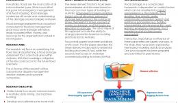
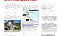
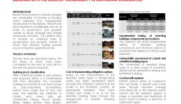
The main objective of this research is to identify cost-effective strategies to mitigate damage to residential buildings from riverine floods.
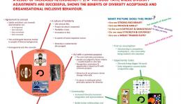
Using the principles of diversity acceptance and organisational inclusive behaviour
This project aims to better describe the nature of bushfires, especially very severe ones, and the effect of land-use planning responses in reducing bushfire risk across a wide range of values and assets.
Firebrands are burning pieces of litter, for example, bark, leaf, and twigs.
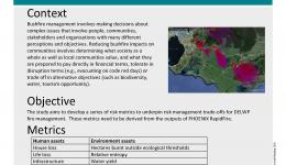
Bushfire management involves making decisions about complex issues that involve people, communities, stakeholders and organisations with many different perceptions and objectives.
Coupled fire-atmosphere models show three-dimensional interactions between a fire and the surrounding atmosphere.
This project was commissioned and funded entirely by the Department of Environment, Land, Water and Planning, Victoria.
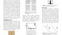
A key problem in wildfire modelling is how to capture dynamic fire behaviour in models suitable for operational use.
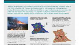
The Victorian Government is committed to objective reporting of fuel management activities in terms of their effect on bushfire risk
Predictive models of natural hazards have become a necessity for emergency management, mitigation and adaptation planning.
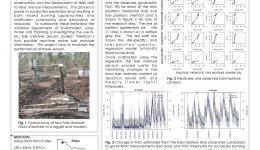
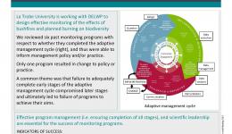
DELWP is trialing the use of a statewide network of in-situ fuel moisture sensors to provide real-time online fuel moisture information for planned burning
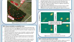
With the emergence of ensemble-based fire modelling, it is necessary to recast wind fields in probabilistic terms
This project was commissioned and funded entirely by the Department of Environment, Land, Water and Planning, Victoria.
The bushfire behaviour and management group of the University of Melbourne is conducting a project to identify the thresholds beyond which dynamic fire behaviour becomes a dominant factor and determine the combination of conditions for such behaviours to occur.
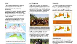
Providing mapping tools from detailed research, modelling and analysis of the occurrence and effects of fire in savanna landscapes in northern Australia to assist with fire management
To describe the actual and potential costs and benefits of bushfire preparedness and response operations through the assessment of specific Victorian case studies
Extreme temperature and deficits in soil moisture provide ample conditions for bushfires.
This PhD research aims to develop and assess methods, using stereo satellite imagery and laser scanning data, to extract 3d tree structural parameters for the accurately estimating biomass / carbon stocks in NT mesic savannas.
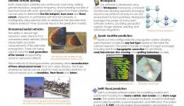
The availability of spatially explicit quantitative forest information is critical for fire management
This project focuses on improving the capability of land managers to use prescribed fire to reduce fuel loads, while at the same time mitigating the risks of loss of water yield and carbon sequestration capacity.
New algorithm, AHI-FSA (AHI fire surveillance algorithm) is introduced to map fire line at 500m spatial resolutions every 10 minutes.
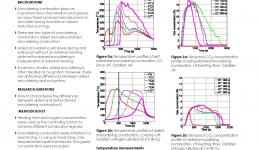
Smouldering is a type of slow, low-temperature combustion of relevance to bushfires.
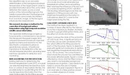
Current methods of fire detection using remote sensing rely on contextual algorithms to characterise fire.
This research project will analyse the relationships among bushfires and prescribed fires, soil carbon, forested catchments and water quality.
This project aims to attribute fire landscapes using the latest remote sensing technology.
This project will investigate the impacts of land use types on river water quality during base-flow and storm-flow conditions for areas subjected to bushfires in Victoria.
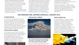
Pyrocumulonimbus clouds have been linked to highly dangerous fire behaviour.
This project will deliver a prescribed burning atlas to guide implementation of ‘tailor-made’ prescribed burning strategies to suit the biophysical, climatic and human context of all bioregions across southern Australia
The use of remote sensing data in operational flood forecasting is currently receiving increasing attention.
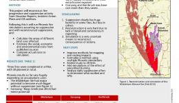
This project strives to determine what effect suppression operations have on large fires.
This research introduces model input data reduction using the discrete wavelet transform to the hydrological sciences.
Spotting is one of most dangerous aspects of major fires.
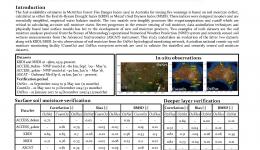
Soil dryness is a key component in operational fire danger rating systems.
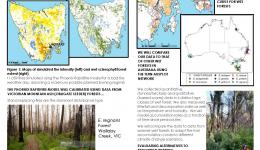
Wet sclerophyll forests are Tasmania’s most dangerous fuel type
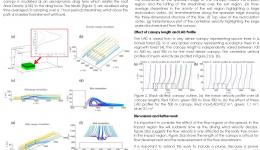
Operational fire models rely on wind reduction factors to relate the standard meteorological measured or forecast wind speed to the flame-height wind speeds within a tree canopy.
This project provides a comprehensive benchmark that will underpin the ability to manage the impacts of extreme water levels on coastal regions at local, regional and national scales.

